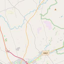
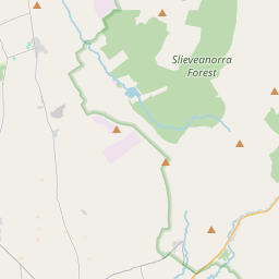
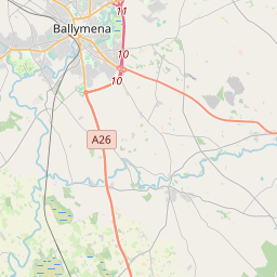
Based on data in OpenStreetMap, here is a list of townlands in the Electoral Division / ED / District Electoral Division of Clogh.
Clogh is in Co.
Clogh is not matched up to Logainm.ie yet.
Map
It is located at 54° 58' 15" N, 6° 17' 2" W.


Leaflet | Map data © OpenStreetMap contributors
Area
Clogh has an area of 31.5 km² / 7,792.4 acres / 12.2 square miles.
Townlands
There are 25 townlands that we know about in . This represents 100% of all the area in .
- Artnacrea 200 A, 3 R, 14 P
- Ballybogy 552 A, 1 R, 24 P
- Ballycregagh 735 A, 0 R, 18 P
- Ballyreagh 608 A, 2 R, 3 P
- Carnbeg 152 A, 3 R, 12 P
- Carnmore 160 A, 0 R, 29 P
- Cloghgaldanagh 196 A, 3 R, 34 P
- Craigfad 356 A, 1 R, 29 P
- Craigfaddock 47 A, 3 R, 31 P
- Doonbought 237 A, 2 R, 18 P
- Drumagrove 253 A, 3 R, 23 P
- Eglish 83 A, 0 R, 30 P
- Farranscushog 127 A, 3 R, 32 P
- Glebe 45 A, 1 R, 31 P
- Glenleslie 618 A, 2 R, 24 P
- Inshamph 140 A, 2 R, 24 P
- Killyree 342 A, 3 R, 5 P
- Kinflea 132 A, 3 R, 20 P
- Limavallaghan 236 A, 1 R, 37 P
- Lower Tullykittagh 432 A, 2 R, 16 P
- Moneyduff 273 A, 2 R, 31 P
- Rosedermot 688 A, 3 R, 22 P
- Tullaghbane 234 A, 2 R, 27 P
- Tullynewy 258 A, 2 R, 5 P
- Upper Tullykittagh 673 A, 0 R, 33 P
 OpenStreetMap
Clogh was added to OpenStreetMap on 25 Feb 2021 by b-unicycling.
- View
- Edit

 JOSM
JOSM iD
iD