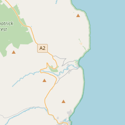
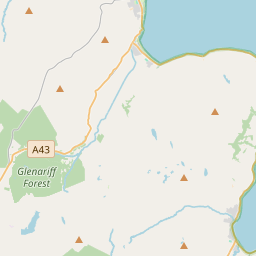
Based on data in OpenStreetMap, here is a list of townlands in the Electoral Division / ED / District Electoral Division of Cushendall.
Cushendall is in Co.
Cushendall is not matched up to Logainm.ie yet.
Map
It is located at 55° 5' 27" N, 6° 5' 53" W.


Leaflet | Map data © OpenStreetMap contributors
Area
Cushendall has an area of 31.5 km² / 7,779.8 acres / 12.2 square miles.
Townlands
There are 45 townlands that we know about in . This represents 100% of all the area in .
- Aghagheigh 74 A, 3 R, 15 P
- Agolagh 138 A, 3 R, 17 P
- Ballyagan 100 A, 2 R, 27 P
- Ballybrack 145 A, 0 R, 19 P
- Ballyvooly 134 A, 3 R, 35 P
- Carnasheeran 121 A, 2 R, 15 P
- Cloghs 1346 A, 1 R, 21 P
- Cloghy East 33 A, 3 R, 27 P
- Cloney (part of Straid) 46 A, 1 R, 13 P
- Cloughglass 31 A, 0 R, 16 P
- Coshkib 62 A, 2 R, 36 P
- Cushendall 157 A, 1 R, 9 P
- Dromore 120 A, 1 R, 5 P
- Drumcudree 49 A, 3 R, 24 P
- Drumnacur 129 A, 0 R, 13 P
- Drumnasmear 77 A, 1 R, 3 P
- Eshery 998 A, 2 R, 37 P
- Fallinerlea 56 A, 3 R, 22 P
- Falmacrilly 438 A, 0 R, 33 P
- Falnaglass 121 A, 2 R, 3 P
- Fauchil 93 A, 0 R, 29 P
- Glebe 10 A, 2 R, 37 P
- Glenanan 825 A, 0 R, 32 P
- Glenville 57 A, 3 R, 11 P
- Gortaghragan 85 A, 2 R, 25 P
- Gruig 182 A, 1 R, 29 P
- Knockacully 46 A, 0 R, 31 P
- Knocknacarry 154 A, 0 R, 28 P
- Lagelugh 72 A, 0 R, 21 P
- Laney 181 A, 2 R, 18 P
- Layd 227 A, 0 R, 0 P
- Legg 23 A, 0 R, 12 P
- Lubitavish 195 A, 0 R, 18 P
- Maghereeroy 84 A, 1 R, 12 P
- Moneyvart 87 A, 1 R, 36 P
- Mullarts 82 A, 1 R, 25 P
- Rananagh 71 A, 3 R, 19 P
- Sleans 113 A, 3 R, 21 P
- Straid 72 A, 0 R, 20 P
- Tavnaghan 63 A, 1 R, 6 P
- Tavnaghdrissagh 109 A, 0 R, 25 P
- Tavnaghoney 173 A, 3 R, 26 P
- Tavnaghowen 69 A, 3 R, 20 P
- Tirkilly 107 A, 3 R, 7 P
- Tromra 203 A, 2 R, 2 P
 OpenStreetMap
Cushendall was added to OpenStreetMap on 26 Feb 2021 by b-unicycling.
- View
- Edit

 JOSM
JOSM iD
iD