Based on data in OpenStreetMap, here is a list of townlands in the Electoral Division / ED / District Electoral Division of Kilbride.
Kilbride is in Co.
Kilbride is not matched up to Logainm.ie yet.
Map
It is located at 54° 45' 51" N, 6° 4' 38" W.
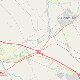
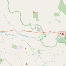

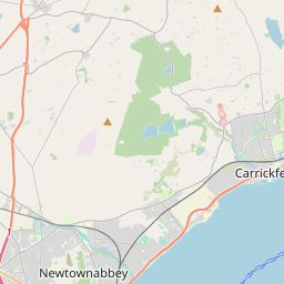
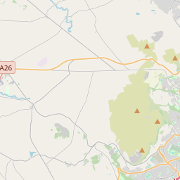
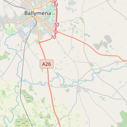
Leaflet | Map data © OpenStreetMap contributors
Area
Kilbride has an area of 19.2 km² / 4,744.1 acres / 7.4 square miles.
Townlands
There are 15 townlands that we know about in . This represents 100% of all the area in .
- Ballybracken 336 A, 0 R, 1 P
- Ballywee 298 A, 0 R, 22 P
- Burnside 154 A, 1 R, 4 P
- Crawfordsland 253 A, 0 R, 3 P
- Douglasland 191 A, 2 R, 23 P
- Drumadarragh 1122 A, 0 R, 8 P
- Duncansland 220 A, 0 R, 35 P
- Fifty Acres 91 A, 0 R, 1 P
- Holestone 874 A, 1 R, 10 P
- Loonburn 285 A, 3 R, 25 P
- McVickersland 349 A, 0 R, 22 P
- Moss Side 125 A, 3 R, 8 P
- Owensland 280 A, 2 R, 7 P
- Strawpark 57 A, 3 R, 32 P
- Walkmill 104 A, 0 R, 7 P
 OpenStreetMap
Kilbride was added to OpenStreetMap on 28 Feb 2021 by b-unicycling.
- View
- Edit