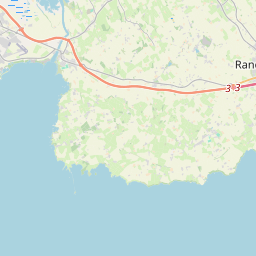
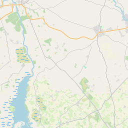
Based on data in OpenStreetMap, here is a list of townlands in the Electoral Division / ED / District Electoral Division of Randalstown.
Randalstown is in Co.
Randalstown is not matched up to Logainm.ie yet.
Map
It is located at 54° 44' 17" N, 6° 18' 38" W.


Leaflet | Map data © OpenStreetMap contributors
Area
Randalstown has an area of 28.8 km² / 7,107.0 acres / 11.1 square miles.
Townlands
There are 20 townlands that we know about in . This represents 100% of all the area in .
- Aghaloughan 305 A, 2 R, 39 P
- Artresnahan 269 A, 1 R, 5 P
- Ballealy North 108 A, 1 R, 35 P
- Ballealy South 141 A, 2 R, 16 P
- Ballygrooby 681 A, 0 R, 14 P
- Clonboy 407 A, 2 R, 29 P
- Craigmore 358 A, 3 R, 1 P
- Feehogue 181 A, 2 R, 27 P
- Gortagharn 328 A, 1 R, 39 P
- Half Umry 143 A, 0 R, 2 P
- Kilbegs 501 A, 0 R, 22 P
- Leitrim 167 A, 3 R, 39 P
- Lisnagreggan 233 A, 1 R, 12 P
- Lurgan West 224 A, 3 R, 23 P
- Maghereagh 66 A, 3 R, 33 P
- Maghereagh 563 A, 2 R, 16 P
- Mount Shaglus 113 A, 2 R, 4 P
- Randalstown 125 A, 3 R, 9 P
- Shane's Castle Park 2111 A, 2 R, 4 P
- Shanes's Castle 72 A, 1 R, 18 P
 OpenStreetMap
Randalstown was added to OpenStreetMap on 1 Mar 2021 by b-unicycling.
- View
- Edit

 JOSM
JOSM iD
iD