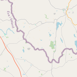
Based on data in OpenStreetMap, here is a list of townlands in the Electoral Division / ED / District Electoral Division of Glenanne.
Glenanne is in Co.
Glenanne is not matched up to Logainm.ie yet.
Map
It is located at 54° 16' 6" N, 6° 30' 27" W.
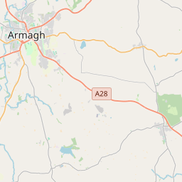
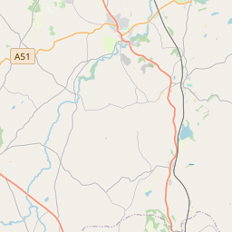
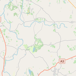
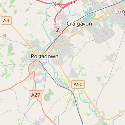
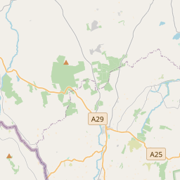
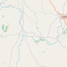

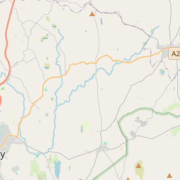
Leaflet | Map data © OpenStreetMap contributors
Area
Glenanne has an area of 15.9 km² / 3,925.0 acres / 6.1 square miles.
Townlands
There are 14 townlands that we know about in . This represents 100% of all the area in .
- Cordrummond 188 A, 0 R, 17 P
- Corhammock 328 A, 0 R, 10 P
- Crunagh 269 A, 0 R, 8 P
- Derlett 215 A, 2 R, 36 P
- Derrycughan 196 A, 3 R, 30 P
- Drumalaragh 216 A, 2 R, 1 P
- Drumgane 258 A, 3 R, 23 P
- Kilbracks 428 A, 1 R, 18 P
- Lisdrumchor Lower 152 A, 1 R, 7 P
- Lisdrumchor Upper 502 A, 0 R, 27 P
- Lisnagat 433 A, 3 R, 34 P
- Lurgyross 217 A, 0 R, 21 P
- Maghnavery 378 A, 3 R, 27 P
- Seaboughan 138 A, 3 R, 9 P
 OpenStreetMap
Glenanne was added to OpenStreetMap on 23 Feb 2021 by b-unicycling.
- View
- Edit