Based on data in OpenStreetMap, here is a list of townlands in Kilclooney (Lower Orior portion).
Kilclooney (Lower Orior portion) is in the baronies of Orior Lower.
Kilclooney (Lower Orior portion) is in the counties of Armagh.
Kilclooney (Lower Orior portion) is not matched up to Logainm.ie yet.
Map
It is located at 54° 16' 47" N, 6° 29' 32" W.
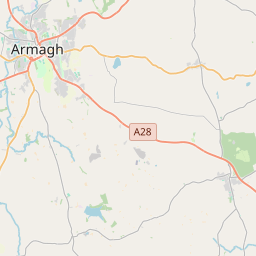
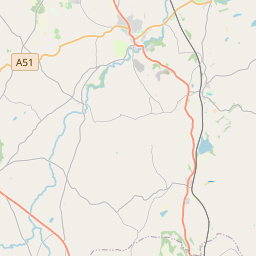
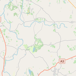
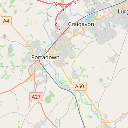
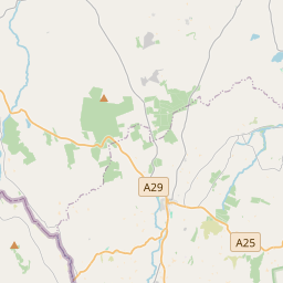
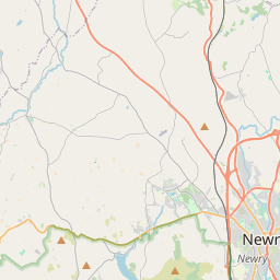
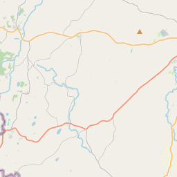
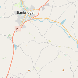
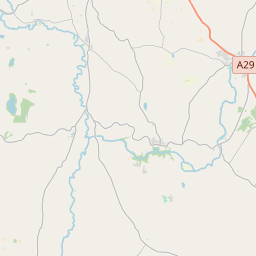

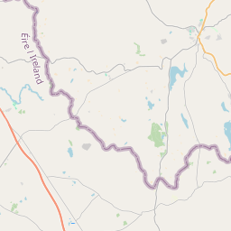
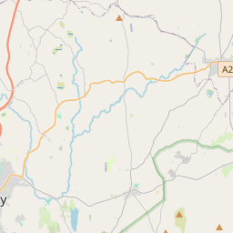
Leaflet | Map data © OpenStreetMap contributors
Area
Kilclooney (Lower Orior portion) has an area of 3.2 km² / 792.4 acres / 1.2 square miles.
Townlands
There are 3 townlands that we know about in Kilclooney (Lower Orior portion). This represents 100% of all the area in Kilclooney (Lower Orior portion).
- Derrycughan (Doire Caocháin) , Kilclooney (Lower Orior portion) Civil Parish, Barony of Orior Lower, Co. Armagh 196 A, 3 R, 30 P
- Doire Caocháin (see Derrycughan (Doire Caocháin) , Kilclooney (Lower Orior portion) Civil Parish, Barony of Orior Lower, Co. Armagh)
- Drumalaragh, Kilclooney (Lower Orior portion) Civil Parish, Barony of Orior Lower, Co. Armagh 216 A, 2 R, 1 P
- Machaire Mhic Mhuirí (see Maghnavery (Machaire Mhic Mhuirí) , Kilclooney (Lower Orior portion) Civil Parish, Barony of Orior Lower, Co. Armagh)
- Maghnavery (Machaire Mhic Mhuirí) , Kilclooney (Lower Orior portion) Civil Parish, Barony of Orior Lower, Co. Armagh 378 A, 3 R, 27 P
 OpenStreetMap
Kilclooney (Lower Orior portion) was added to OpenStreetMap on 14 Aug 2016 by Stephen_Co_Antrim.
- View
- Edit