Based on data in OpenStreetMap, here is a list of townlands in the Electoral Division / ED / District Electoral Division of Ballintemple.
Ballintemple is in Co.
Ballintemple is not matched up to Logainm.ie yet.
Map
It is located at 53° 53' 51" N, 7° 25' 11" W.
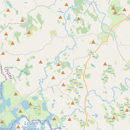
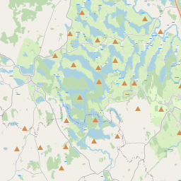
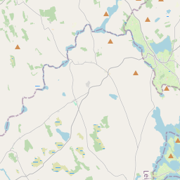
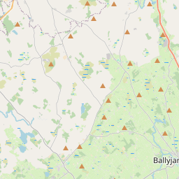
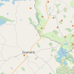
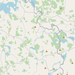
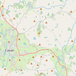
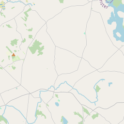

Leaflet | Map data © OpenStreetMap contributors
Area
Ballintemple has an area of 16.8 km² / 4,154.7 acres / 6.5 square miles.
Townlands
There are 15 townlands that we know about in . This represents 100% of all the area in .
- Aghaweely Lower 331 A, 2 R, 36 P
- Aghaweely Upper 252 A, 2 R, 38 P
- Ballintemple 343 A, 3 R, 9 P
- Ballytrust 270 A, 1 R, 6 P
- Ballytrust Lower 79 A, 1 R, 39 P
- Bruskey 154 A, 0 R, 3 P
- Carrigan 313 A, 1 R, 29 P
- Corduff 778 A, 1 R, 12 P
- Corr 477 A, 3 R, 10 P
- Derrylane 57 A, 2 R, 33 P
- Dillagh 254 A, 1 R, 22 P
- Drumcor 374 A, 0 R, 28 P
- Drumhillagh 140 A, 0 R, 21 P
- Knockanore 141 A, 0 R, 37 P
- Lackan Upper 185 A, 1 R, 25 P
 OpenStreetMap
Ballintemple was added to OpenStreetMap on 16 Mar 2021 by b-unicycling.
- View
- Edit