Based on data in OpenStreetMap, here is a list of townlands in the Electoral Division / ED / District Electoral Division of Diamond.
Diamond is in Co.
Diamond is not matched up to Logainm.ie yet.
Map
It is located at 54° 2' 18" N, 7° 34' 18" W.
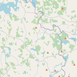
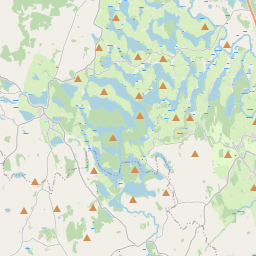
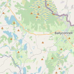
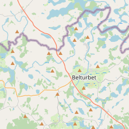
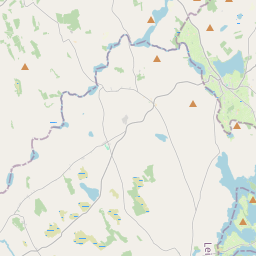
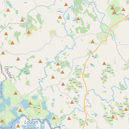
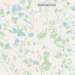
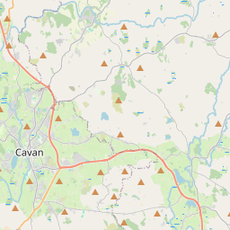
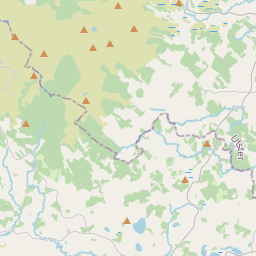
Leaflet | Map data © OpenStreetMap contributors
Area
Diamond has an area of 8.5 km² / 2,092.9 acres / 3.3 square miles.
Townlands
There are 14 townlands that we know about in . This represents 100% of all the area in .
- Aghnacreevy 240 A, 3 R, 36 P
- Drumbinnis 90 A, 3 R, 13 P
- Drumcanon 81 A, 3 R, 2 P
- Drumcartagh or Diamondhill 68 A, 3 R, 15 P
- Drumgoohy 106 A, 1 R, 16 P
- Druminiskill 151 A, 2 R, 35 P
- Drumlarah 193 A, 1 R, 34 P
- Drummany 176 A, 2 R, 17 P
- Drumminnion 124 A, 3 R, 29 P
- Evlagh More 139 A, 2 R, 6 P
- Keilagh 166 A, 3 R, 39 P
- Mackan 179 A, 2 R, 23 P
- Makief 98 A, 1 R, 34 P
- Mullaghdoo 272 A, 2 R, 33 P
 OpenStreetMap
Diamond was added to OpenStreetMap on 12 Sep 2015 by NoelB.
- View
- Edit