Based on data in OpenStreetMap, here is a list of townlands in the Electoral Division / ED / District Electoral Division of Enniskeen.
Enniskeen is in Co.
Enniskeen is not matched up to Logainm.ie yet.
Map
It is located at 53° 53' 59" N, 6° 53' 14" W.
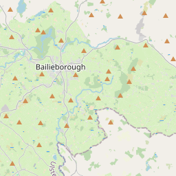

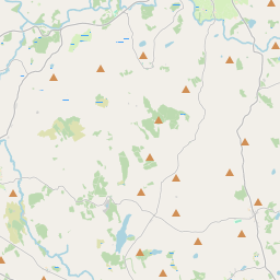
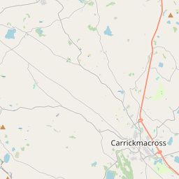
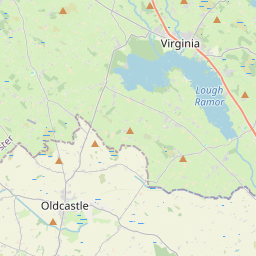
Leaflet | Map data © OpenStreetMap contributors
Area
Enniskeen has an area of 19.0 km² / 4,702.1 acres / 7.3 square miles.
Townlands
There are 16 townlands that we know about in . This represents 100% of all the area in .
- Balloughly 308 A, 3 R, 5 P
- Birragh 170 A, 2 R, 30 P
- Bracklin 517 A, 3 R, 9 P
- Carrowreagh 195 A, 3 R, 10 P
- Clonturkan 171 A, 2 R, 29 P
- Coppanagh 807 A, 3 R, 4 P
- Cordoagh 152 A, 0 R, 1 P
- Cornasaus 216 A, 2 R, 20 P
- Corraneary 260 A, 1 R, 28 P
- Corraweelis 481 A, 0 R, 24 P
- Drumbar 131 A, 0 R, 2 P
- Drumgrin 158 A, 3 R, 16 P
- Edennagully 321 A, 0 R, 18 P
- Laragh 222 A, 0 R, 23 P
- Mohercrom 209 A, 0 R, 27 P
- Moyer 377 A, 0 R, 9 P
 OpenStreetMap
Enniskeen was added to OpenStreetMap on 16 Feb 2017 by PaddyMatthews.
- View
- Edit