Based on data in OpenStreetMap, here is a list of townlands in the Electoral Division / ED / District Electoral Division of Kilgolagh.
Kilgolagh is in Co.
Kilgolagh is not matched up to Logainm.ie yet.
Map
It is located at 53° 48' 17" N, 7° 23' 56" W.
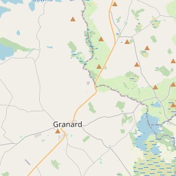

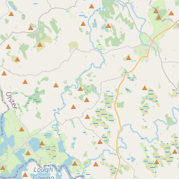
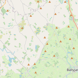
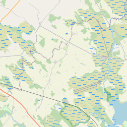
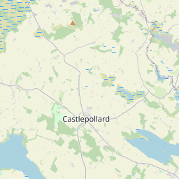
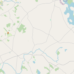
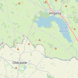
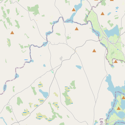
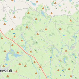
Leaflet | Map data © OpenStreetMap contributors
Area
Kilgolagh has an area of 16.1 km² / 3,980.7 acres / 6.2 square miles.
Townlands
There are 14 townlands that we know about in . This represents 100% of all the area in .
- Bracklagh 247 A, 2 R, 25 P
- Carrick 578 A, 3 R, 8 P
- Carrickabane 150 A, 1 R, 27 P
- Carrickakillew 291 A, 3 R, 20 P
- Cortrasna 110 A, 0 R, 29 P
- Cullaboy Upper 230 A, 1 R, 26 P
- Freeduff 308 A, 0 R, 23 P
- Kilgolagh 422 A, 3 R, 10 P
- Lisnadarragh 175 A, 3 R, 37 P
- Magheraboy Lower 237 A, 0 R, 12 P
- Magheraboy Upper 280 A, 1 R, 0 P
- Moynagh Lower 303 A, 2 R, 37 P
- Moynagh Upper 366 A, 3 R, 2 P
- Toghernaross 276 A, 2 R, 8 P
 OpenStreetMap
Kilgolagh was added to OpenStreetMap on 17 Mar 2021 by b-unicycling.
- View
- Edit