Based on data in OpenStreetMap, here is a list of townlands in the Electoral Division / ED / District Electoral Division of Cloghera.
Cloghera is in Co.
Cloghera is not matched up to Logainm.ie yet.
Map
It is located at 52° 44' 52" N, 8° 36' 24" W.
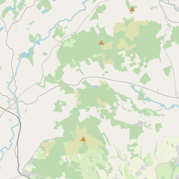

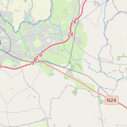
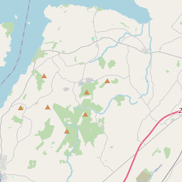
Leaflet | Map data © OpenStreetMap contributors
Area
Cloghera has an area of 20.8 km² / 5,140.1 acres / 8.0 square miles.
Townlands
There are 15 townlands that we know about in . This represents 100% of all the area in .
- Aharinaghbeg 412 A, 1 R, 0 P
- Aharinaghmore 260 A, 2 R, 24 P
- Cloghera 278 A, 1 R, 29 P
- Cloonsheerea 221 A, 3 R, 28 P
- Coolderry 392 A, 2 R, 25 P
- Coolnalira 209 A, 1 R, 8 P
- Drumsillagh (Merritt) 524 A, 3 R, 13 P
- Drumsillagh (Parke) 589 A, 3 R, 8 P
- Kilmore 877 A, 0 R, 29 P
- Knockdonagh 266 A, 0 R, 20 P
- Kyleglass 104 A, 0 R, 17 P
- Roo East 244 A, 1 R, 29 P
- Roo West 214 A, 0 R, 7 P
- Tooreen 149 A, 3 R, 16 P
- Trough 394 A, 1 R, 30 P
 OpenStreetMap
Cloghera was added to OpenStreetMap on 18 Dec 2016 by Teester.
- View
- Edit