Based on data in OpenStreetMap, here is a list of townlands in the Electoral Division / ED / District Electoral Division of Killofin.
Killofin is in Co.
Killofin is not matched up to Logainm.ie yet.
Map
It is located at 52° 36' 35" N, 9° 16' 40" W.
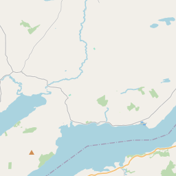
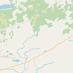
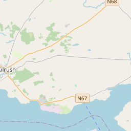
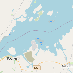
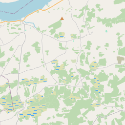
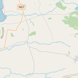
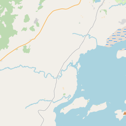
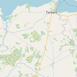
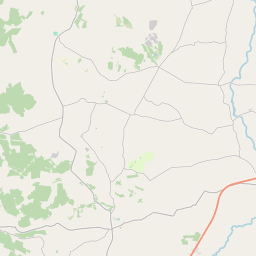
Leaflet | Map data © OpenStreetMap contributors
Area
Killofin has an area of 39.6 km² / 9,773.7 acres / 15.3 square miles.
Townlands
There are 14 townlands that we know about in . This represents 59.3% of all the area in .
- Ballina 552 A, 0 R, 14 P
- Cloonkerry East 237 A, 1 R, 11 P
- Cloonkerry West 228 A, 3 R, 33 P
- Colmanstown 639 A, 3 R, 5 P
- Cullenagh 394 A, 1 R, 4 P
- Kilkerin 735 A, 1 R, 33 P
- Killofin 317 A, 0 R, 24 P
- Knockphutteen 304 A, 0 R, 30 P
- Lakyle North 298 A, 1 R, 34 P
- Lakyle South 213 A, 0 R, 4 P
- Mountshannon East 511 A, 1 R, 38 P
- Mountshannon West 418 A, 3 R, 7 P
- Moyfadda 421 A, 3 R, 22 P
- Slievedooley 522 A, 1 R, 3 P
 OpenStreetMap
Killofin was added to OpenStreetMap on 15 Dec 2016 by Teester.
- View
- Edit