Based on data in OpenStreetMap, here is a list of townlands in the Electoral Division / ED / District Electoral Division of Rossroe.
Rossroe is in Co.
Rossroe is not matched up to Logainm.ie yet.
Map
It is located at 52° 45' 54" N, 8° 47' 25" W.
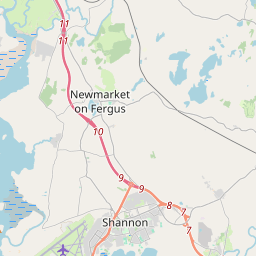
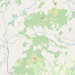
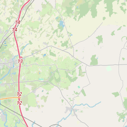
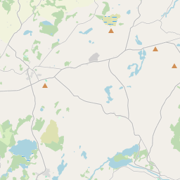
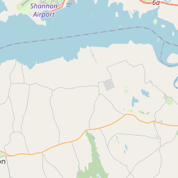


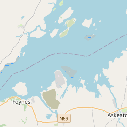
Leaflet | Map data © OpenStreetMap contributors
Area
Rossroe has an area of 16.1 km² / 3,980.5 acres / 6.2 square miles.
Townlands
There are 15 townlands that we know about in . This represents 100% of all the area in .
- Ardmaclancy 191 A, 2 R, 26 P
- Ballymulcashel 675 A, 2 R, 23 P
- Ballysheen Beg 133 A, 3 R, 34 P
- Ballysheen More 678 A, 1 R, 15 P
- Cloonanass 113 A, 1 R, 25 P
- Cloonmunnia 208 A, 2 R, 31 P
- Cragroe 216 A, 0 R, 15 P
- Curraghkilleen 75 A, 2 R, 15 P
- Knocknalappa 345 A, 2 R, 24 P
- Mountcashel 94 A, 2 R, 5 P
- Moygalla 275 A, 2 R, 12 P
- Rath Beg 149 A, 0 R, 27 P
- Rath More 356 A, 3 R, 4 P
- Rosroe 278 A, 1 R, 21 P
- Sooreeny 187 A, 0 R, 0 P
 OpenStreetMap
Rossroe was added to OpenStreetMap on 18 Dec 2016 by Teester.
- View
- Edit