Based on data in OpenStreetMap, here is a list of townlands in the Electoral Division / ED / District Electoral Division of Smithstown.
Smithstown is in Co.
Smithstown is not matched up to Logainm.ie yet.
Map
It is located at 52° 59' 40" N, 9° 16' 16" W.
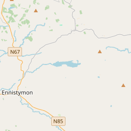
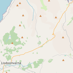
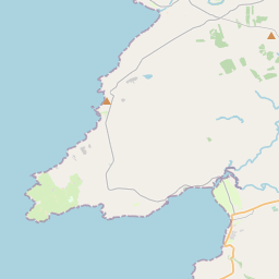
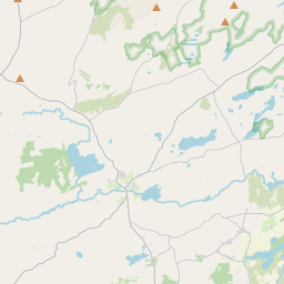
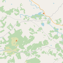


Leaflet | Map data © OpenStreetMap contributors
Area
Smithstown has an area of 12.9 km² / 3,189.5 acres / 5.0 square miles.
Townlands
There are 15 townlands that we know about in . This represents 100% of all the area in .
- Ballytarsna 440 A, 1 R, 21 P
- Boghil 371 A, 0 R, 6 P
- Cahereamore 262 A, 0 R, 23 P
- Carrowkeel 246 A, 1 R, 1 P
- Cloongarve 120 A, 1 R, 29 P
- Coolpeekaun 109 A, 1 R, 6 P
- Crosscornaun 122 A, 3 R, 25 P
- Gortnaboul 270 A, 0 R, 32 P
- Laraghakea 134 A, 1 R, 33 P
- Lisdoony East 58 A, 3 R, 36 P
- Lisdoony West 257 A, 2 R, 38 P
- Porsoon 65 A, 2 R, 14 P
- Slievenagry 196 A, 2 R, 11 P
- Smithstown 285 A, 2 R, 21 P
- Tooreen 247 A, 3 R, 12 P
 OpenStreetMap
Smithstown was added to OpenStreetMap on 16 Dec 2016 by Teester.
- View
- Edit