Based on data in OpenStreetMap, here is a list of townlands in the Electoral Division / ED / District Electoral Division of Aghinagh.
Aghinagh is in Co.
Aghinagh is not matched up to Logainm.ie yet.
Map
It is located at 51° 55' 0" N, 8° 52' 21" W.
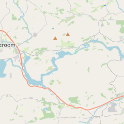
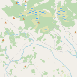
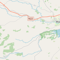
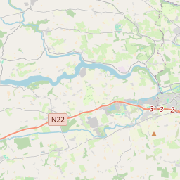
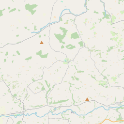
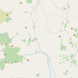
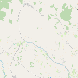
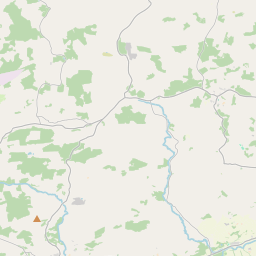
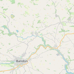
Leaflet | Map data © OpenStreetMap contributors
Area
Aghinagh has an area of 19.5 km² / 4,828.2 acres / 7.5 square miles.
Townlands
There are 15 townlands that we know about in . This represents 100% of all the area in .
- Beheena 256 A, 2 R, 36 P
- Cappanagraun 259 A, 1 R, 5 P
- Carrigadrohid 562 A, 3 R, 33 P
- Carrigathou 224 A, 1 R, 23 P
- Caum 423 A, 3 R, 31 P
- Coolalta 213 A, 0 R, 15 P
- Coolkisha 296 A, 0 R, 19 P
- Coolnagearagh 294 A, 1 R, 7 P
- Curraghanearla 439 A, 1 R, 17 P
- Drombeg 372 A, 2 R, 6 P
- Inchaleagh 295 A, 1 R, 30 P
- Knockacroghera 454 A, 2 R, 8 P
- Knockeenacuttin 158 A, 1 R, 21 P
- Shanakill 471 A, 2 R, 7 P
- Shanavagha 105 A, 2 R, 3 P
 OpenStreetMap
Aghinagh was added to OpenStreetMap on 27 Jan 2017 by Teester.
- View
- Edit