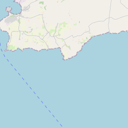
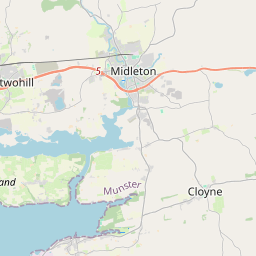
Based on data in OpenStreetMap, here is a list of townlands in the Electoral Division / ED / District Electoral Division of Ballintemple.
Ballintemple is in Co.
Ballintemple is not matched up to Logainm.ie yet.
Map
It is located at 51° 49' 39" N, 8° 5' 17" W.


Leaflet | Map data © OpenStreetMap contributors
Area
Ballintemple has an area of 20.2 km² / 4,984.2 acres / 7.8 square miles.
Townlands
There are 24 townlands that we know about in . This represents 100% of all the area in .
- Ballyandreen 76 A, 2 R, 6 P
- Ballycatoo 267 A, 3 R, 30 P
- Ballycrenane 300 A, 1 R, 25 P
- Ballycroneen East 26 A, 2 R, 1 P
- Ballycroneen West 404 A, 1 R, 8 P
- Ballydavid 148 A, 2 R, 4 P
- Ballyknock 115 A, 3 R, 31 P
- Ballylanders 320 A, 3 R, 6 P
- Ballymacotter 260 A, 3 R, 39 P
- Ballyonane 111 A, 1 R, 17 P
- Ballyregan 197 A, 2 R, 12 P
- Ballyrobin North 82 A, 3 R, 39 P
- Ballyrobin South 345 A, 0 R, 33 P
- Ballyroe 224 A, 3 R, 30 P
- Ballywilliam 363 A, 2 R, 29 P
- Churchtown 41 A, 1 R, 7 P
- Doonenmacotter 138 A, 1 R, 38 P
- Glebe 12 A, 1 R, 16 P
- Kilbararee 141 A, 1 R, 14 P
- Kilmacahill 562 A, 0 R, 34 P
- Lickane 56 A, 1 R, 2 P
- Maytown 370 A, 3 R, 12 P
- Sunville 54 A, 0 R, 2 P
- Tullagh 359 A, 2 R, 35 P
 OpenStreetMap
Ballintemple was added to OpenStreetMap on 30 Jan 2017 by Teester.
- View
- Edit

 JOSM
JOSM iD
iD