Based on data in OpenStreetMap, here is a list of townlands in the Electoral Division / ED / District Electoral Division of Castletown.
Castletown is in Co.
Castletown is not matched up to Logainm.ie yet.
Map
It is located at 51° 46' 45" N, 8° 57' 54" W.
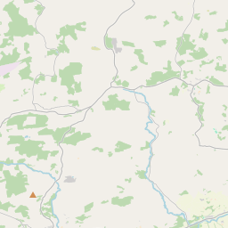
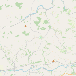
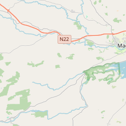
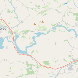
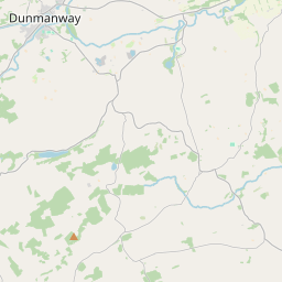
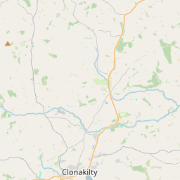
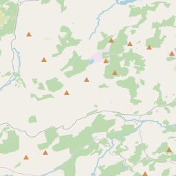
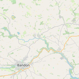
Leaflet | Map data © OpenStreetMap contributors
Area
Castletown has an area of 19.3 km² / 4,758.1 acres / 7.4 square miles.
Townlands
There are 15 townlands that we know about in . This represents 100% of all the area in .
- Ardkilleen 404 A, 2 R, 16 P
- Ballaghanure 208 A, 3 R, 30 P
- Capeen East 434 A, 2 R, 34 P
- Castletown 463 A, 2 R, 31 P
- Clonomara 206 A, 1 R, 4 P
- Coolabaun 108 A, 2 R, 17 P
- Garland 188 A, 1 R, 29 P
- Gurteenroe 331 A, 0 R, 14 P
- Lactanashinnagh 225 A, 0 R, 26 P
- Moneygaff East 666 A, 2 R, 4 P
- Moneygaff West 603 A, 2 R, 37 P
- Moneynacroha 382 A, 1 R, 4 P
- Paddock 269 A, 2 R, 33 P
- Shanaclogh 145 A, 1 R, 31 P
- Sleenoge 118 A, 3 R, 26 P
 OpenStreetMap
Castletown was added to OpenStreetMap on 19 Jan 2017 by Teester.
- View
- Edit