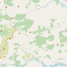
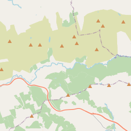
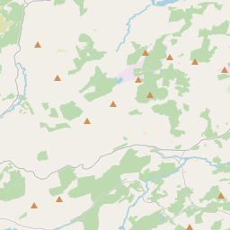
Based on data in OpenStreetMap, here is a list of townlands in the Electoral Division / ED / District Electoral Division of Gortnatubbrid.
Gortnatubbrid is in Co.
Gortnatubbrid is not matched up to Logainm.ie yet.
Map
It is located at 51° 55' 3" N, 9° 13' 27" W.


Leaflet | Map data © OpenStreetMap contributors
Area
Gortnatubbrid has an area of 40.3 km² / 9,948.4 acres / 15.5 square miles.
Townlands
There are 26 townlands that we know about in . This represents 100% of all the area in .
- An Lománach Bheag 75 A, 3 R, 21 P
- An Lománach Mhór 192 A, 1 R, 29 P
- An Muirneach Beag 278 A, 2 R, 37 P
- Bardinch 392 A, 2 R, 37 P
- Cahercarney 92 A, 2 R, 1 P
- Coolavoher 147 A, 3 R, 13 P
- Coolierher 237 A, 0 R, 0 P
- Coumaclovane 864 A, 2 R, 12 P
- Cúil Aodha 609 A, 3 R, 7 P
- Derree 359 A, 0 R, 33 P
- Derrylahan 649 A, 2 R, 5 P
- Doire an Chuilinn 454 A, 2 R, 29 P
- Fuhiry 1032 A, 3 R, 22 P
- Glebe 60 A, 0 R, 18 P
- Gortanacra 243 A, 2 R, 21 P
- Gortnafunshion 88 A, 1 R, 16 P
- Gortnagross 152 A, 0 R, 5 P
- Gortnascarty 247 A, 1 R, 6 P
- Gort na Tiobratan 535 A, 2 R, 25 P
- Gortyrahilly 1061 A, 0 R, 37 P
- Rath East 332 A, 2 R, 25 P
- Rath West 258 A, 1 R, 7 P
- Reanabobul 666 A, 0 R, 15 P
- Scrahanagown 416 A, 3 R, 18 P
- Shanacloon 343 A, 2 R, 18 P
- Togher 154 A, 2 R, 39 P
 OpenStreetMap
Gortnatubbrid was added to OpenStreetMap on 14 Jan 2017 by Teester.
- View
- Edit

 JOSM
JOSM iD
iD