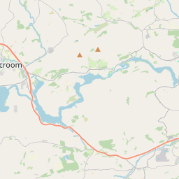
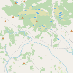
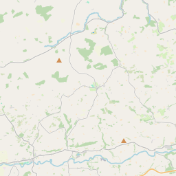
Based on data in OpenStreetMap, here is a list of townlands in the Electoral Division / ED / District Electoral Division of Magourney.
Magourney is in Co.
Magourney is not matched up to Logainm.ie yet.
Map
It is located at 51° 55' 20" N, 8° 46' 43" W.


Leaflet | Map data © OpenStreetMap contributors
Area
Magourney has an area of 21.4 km² / 5,284.1 acres / 8.3 square miles.
Townlands
There are 21 townlands that we know about in . This represents 100% of all the area in .
- Carhoo Lower 284 A, 1 R, 19 P
- Carhoo Upper 195 A, 2 R, 35 P
- Carrignamuck 372 A, 2 R, 15 P
- Clontead Beg 229 A, 0 R, 12 P
- Clontead More 339 A, 0 R, 30 P
- Coolacullig 520 A, 2 R, 30 P
- Deeshart 80 A, 1 R, 25 P
- Derreen 389 A, 1 R, 38 P
- Glebe 70 A, 0 R, 17 P
- Kilcolman 91 A, 2 R, 35 P
- Kilgobnet 288 A, 0 R, 6 P
- Knockanenagark 165 A, 2 R, 24 P
- Knockaneowen 71 A, 2 R, 6 P
- Leemount 102 A, 1 R, 35 P
- Meeshal 243 A, 1 R, 11 P
- Monareagh 159 A, 0 R, 5 P
- Nadrid 538 A, 0 R, 32 P
- Oldcastle 416 A, 0 R, 29 P
- Rockgrove 191 A, 1 R, 39 P
- Tullig Beg 53 A, 3 R, 37 P
- Tullig More 480 A, 2 R, 39 P
 OpenStreetMap
Magourney was added to OpenStreetMap on 27 Jan 2017 by Teester.
- View
- Edit

 JOSM
JOSM iD
iD