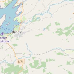
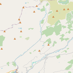
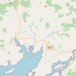
Based on data in OpenStreetMap, here is a list of townlands in the Electoral Division / ED / District Electoral Division of Mealagh.
Mealagh is in Co.
Mealagh is not matched up to Logainm.ie yet.
Map
It is located at 51° 43' 12" N, 9° 20' 24" W.


Leaflet | Map data © OpenStreetMap contributors
Area
Mealagh has an area of 29.0 km² / 7,162.5 acres / 11.2 square miles.
Townlands
There are 23 townlands that we know about in . This represents 100% of all the area in .
- Ardrah 489 A, 2 R, 1 P
- Ards Beg 188 A, 3 R, 15 P
- Ards More (East) 87 A, 2 R, 39 P
- Ards More (West) 78 A, 1 R, 25 P
- Cloonygorman 271 A, 1 R, 33 P
- Coomanore North 431 A, 0 R, 15 P
- Coomanore South 373 A, 3 R, 4 P
- Coomleagh East 834 A, 1 R, 12 P
- Coomleagh West 539 A, 2 R, 7 P
- Derreenkealig 282 A, 0 R, 25 P
- Derryarkane 217 A, 2 R, 16 P
- Dromclogh East 266 A, 1 R, 14 P
- Dromclough West 180 A, 1 R, 0 P
- Dromsullivan North 149 A, 0 R, 25 P
- Dromsullivan South 151 A, 1 R, 18 P
- Glanareagh 745 A, 0 R, 29 P
- Glanbannoo Lower 197 A, 2 R, 5 P
- Glanbannoo Upper 509 A, 3 R, 5 P
- Gortnacowly 463 A, 1 R, 32 P
- Laharanshermeen 173 A, 0 R, 26 P
- Maularaha 206 A, 1 R, 23 P
- Maulikeeve 193 A, 1 R, 4 P
- Tooreen South 132 A, 0 R, 12 P
 OpenStreetMap
Mealagh was added to OpenStreetMap on 14 Jan 2017 by Teester.
- View
- Edit

 JOSM
JOSM iD
iD