Based on data in OpenStreetMap, here is a list of townlands in the Electoral Division / ED / District Electoral Division of Milltown.
Milltown is in Co.
Milltown is not matched up to Logainm.ie yet.
Map
It is located at 52° 19' 43" N, 8° 44' 14" W.
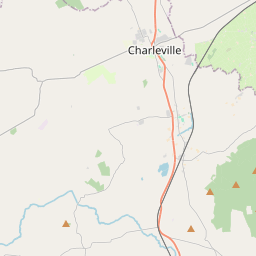
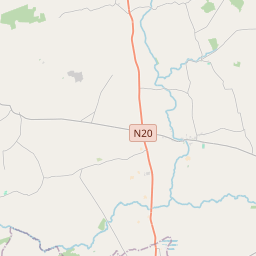
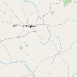
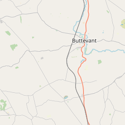
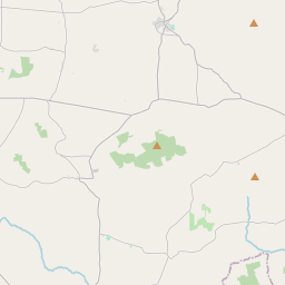
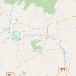
Leaflet | Map data © OpenStreetMap contributors
Area
Milltown has an area of 19.5 km² / 4,807.2 acres / 7.5 square miles.
Townlands
There are 15 townlands that we know about in . This represents 100% of all the area in .
- Ardglass 542 A, 1 R, 32 P
- Ardmore 181 A, 3 R, 6 P
- Boolard 198 A, 1 R, 2 P
- Cloghanughera 368 A, 0 R, 8 P
- Cloonkeen 409 A, 2 R, 2 P
- Clyderragh 294 A, 0 R, 3 P
- Cooliney 447 A, 3 R, 22 P
- Farranshonikeen 84 A, 3 R, 0 P
- Fiddane 241 A, 3 R, 14 P
- Glengarriff 279 A, 1 R, 0 P
- Killaree 355 A, 1 R, 20 P
- Kiltass 91 A, 1 R, 5 P
- Milltown 367 A, 1 R, 34 P
- Rathnacally 321 A, 0 R, 3 P
- Shandrum 624 A, 0 R, 27 P
 OpenStreetMap
Milltown was added to OpenStreetMap on 26 Jan 2017 by Teester.
- View
- Edit