Based on data in OpenStreetMap, here is a list of townlands in the Electoral Division / ED / District Electoral Division of Templemartin.
Templemartin is in Co.
Templemartin is not matched up to Logainm.ie yet.
Map
It is located at 51° 48' 9" N, 8° 47' 18" W.
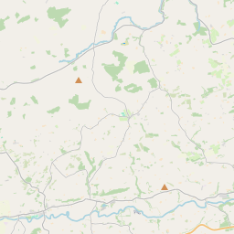
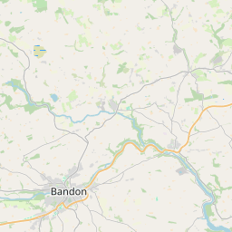
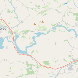
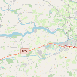
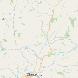
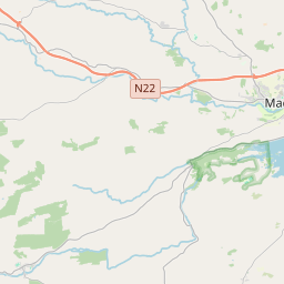
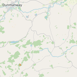
Leaflet | Map data © OpenStreetMap contributors
Area
Templemartin has an area of 30.6 km² / 7,560.5 acres / 11.8 square miles.
Townlands
There are 16 townlands that we know about in . This represents 100% of all the area in .
- Boggra 194 A, 0 R, 28 P
- Carrigafroca 122 A, 1 R, 38 P
- Castlenalact 281 A, 1 R, 35 P
- Commons 288 A, 0 R, 4 P
- Curravordy 740 A, 0 R, 13 P
- Farranhavane 498 A, 0 R, 33 P
- Garranes 1215 A, 2 R, 23 P
- Kilbarry 276 A, 0 R, 37 P
- Knockadooma 266 A, 3 R, 23 P
- Lisnagat 397 A, 1 R, 26 P
- Moneen 588 A, 3 R, 26 P
- Moskeagh 651 A, 0 R, 39 P
- Mossgrove 807 A, 0 R, 3 P
- Scarriff 328 A, 1 R, 14 P
- Scartnamuck 549 A, 1 R, 24 P
- Shanacloyne 354 A, 3 R, 25 P
 OpenStreetMap
Templemartin was added to OpenStreetMap on 20 Jan 2017 by Teester.
- View
- Edit