Based on data in OpenStreetMap, here is a list of townlands in the Electoral Division / ED / District Electoral Division of Watergrasshill.
Watergrasshill is in Co.
Watergrasshill is not matched up to Logainm.ie yet.
Map
It is located at 52° 1' 35" N, 8° 20' 26" W.
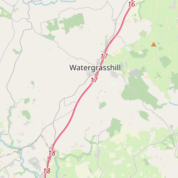
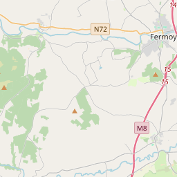
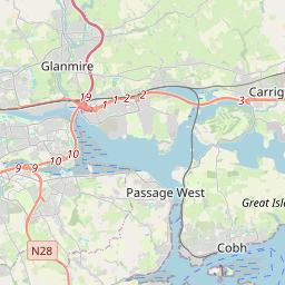
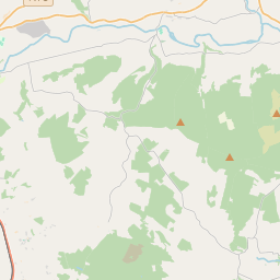
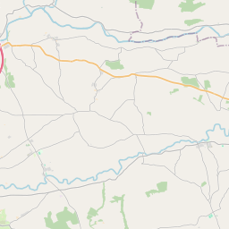
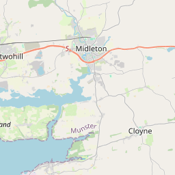
Leaflet | Map data © OpenStreetMap contributors
Area
Watergrasshill has an area of 30.7 km² / 7,597.3 acres / 11.9 square miles.
Townlands
There are 15 townlands that we know about in . This represents 100% of all the area in .
- Ardnageehy East 664 A, 0 R, 29 P
- Ardnageehy West 525 A, 3 R, 31 P
- Ballinaltig 317 A, 3 R, 6 P
- Bishop's Island 578 A, 1 R, 16 P
- Bushypark 296 A, 3 R, 39 P
- Condonstown North 578 A, 2 R, 39 P
- Condonstown South 478 A, 3 R, 3 P
- Coolquane 463 A, 0 R, 3 P
- Coosane 332 A, 1 R, 14 P
- Meenane 558 A, 1 R, 21 P
- Mountcatherine 320 A, 1 R, 14 P
- Scartbarry 663 A, 1 R, 15 P
- Skahanagh North 562 A, 3 R, 38 P
- Skahanagh South 787 A, 3 R, 35 P
- Tinageragh 468 A, 0 R, 13 P
 OpenStreetMap
Watergrasshill was added to OpenStreetMap on 1 Feb 2017 by Teester.
- View
- Edit