Based on data in OpenStreetMap, here is a list of townlands in the Electoral Division / ED / District Electoral Division of Ballynadrentagh.
Ballynadrentagh ist in der Grafschaft
Ballynadrentagh is not matched up to Logainm.ie yet.
Karte
Befindet sich bei 54° 37' 43" N, 6° 15' 10" W.
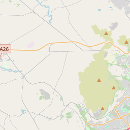

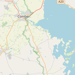
Leaflet | Map data © OpenStreetMap contributors
Fläche
Ballynadrentagh hat eine Fläche von 19,9 km² / 4,916,4 Acres / 7,7 Quadratmeilen.
Townlands
Uns sind 9 Townlands in bekannt. Das entspricht 100% der Fläche in .
- Ballyclan 531 A, 1 R, 9 P
- Ballymacmary 305 A, 1 R, 39 P
- Ballynadrentagh 1251 A, 0 R, 20 P
- Crosshill 823 A, 3 R, 36 P
- Gartree 693 A, 0 R, 39 P
- Gortnagallon 451 A, 2 R, 8 P
- Largy 406 A, 2 R, 39 P
- Ram's Island 54 A, 2 R, 16 P
- Randox 398 A, 1 R, 10 P
 OpenStreetMap
Ballynadrentagh wurde am 25 Feb 2021 von b-unicycling bei OpenStreetMap erfasst.
- View
- Edit