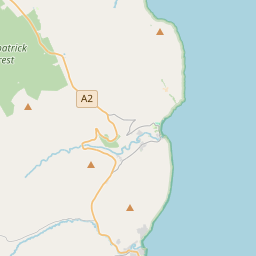
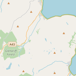
Based on data in OpenStreetMap, here is a list of townlands in the Electoral Division / ED / District Electoral Division of Beardiville.
Beardiville ist in der Grafschaft
Beardiville is not matched up to Logainm.ie yet.
Karte
Befindet sich bei 55° 10' 2" N, 6° 33' 32" W.


Leaflet | Map data © OpenStreetMap contributors
Fläche
Beardiville hat eine Fläche von 22,8 km² / 5,623,9 Acres / 8,8 Quadratmeilen.
Townlands
Uns sind 33 Townlands in bekannt. Das entspricht 100% der Fläche in .
- Ballyclogh (Centre) 158 A, 2 R, 18 P
- Ballyclogh (North) 78 A, 0 R, 28 P
- Ballyclogh (North Centre) 78 A, 1 R, 21 P
- Ballyclogh (South) 69 A, 3 R, 17 P
- Ballyclogh (South Centre) 69 A, 0 R, 0 P
- Ballyhome 538 A, 0 R, 38 P
- Ballyhunsley North 112 A, 0 R, 38 P
- Ballyhunsley South 220 A, 1 R, 7 P
- Ballyrock Irish 383 A, 2 R, 14 P
- Ballyrock Scotch 148 A, 2 R, 13 P
- Ballywatt East 100 A, 3 R, 26 P
- Ballywatt Leggs 168 A, 1 R, 37 P
- Ballywatt West 129 A, 1 R, 36 P
- Beardiville 225 A, 3 R, 6 P
- Carnglass Beg 54 A, 3 R, 8 P
- Carnglass More 149 A, 3 R, 14 P
- East Park 180 A, 0 R, 15 P
- Flower Hill 193 A, 3 R, 13 P
- Island Carragh North 204 A, 2 R, 26 P
- Island Carragh South 139 A, 3 R, 22 P
- Kilmoyle 221 A, 3 R, 29 P
- Lisnarick 103 A, 0 R, 23 P
- Oldtown 121 A, 0 R, 16 P
- Outhill 221 A, 1 R, 3 P
- Priestland East 165 A, 2 R, 24 P
- Priestland West 238 A, 0 R, 1 P
- Revallagh North 194 A, 1 R, 3 P
- Revallagh South 222 A, 3 R, 28 P
- Risk 152 A, 2 R, 11 P
- Seneirl 116 A, 3 R, 5 P
- Toberdornan 133 A, 0 R, 31 P
- Townend 170 A, 3 R, 29 P
- West Park 157 A, 1 R, 5 P
 OpenStreetMap
Beardiville wurde am 25 Feb 2021 von b-unicycling bei OpenStreetMap erfasst.
- View
- Edit

 JOSM
JOSM iD
iD