Based on data in OpenStreetMap, here is a list of townlands in the Electoral Division / ED / District Electoral Division of Bushmills.
Bushmills ist in der Grafschaft
Bushmills is not matched up to Logainm.ie yet.
Karte
Befindet sich bei 55° 11' 37" N, 6° 29' 54" W.
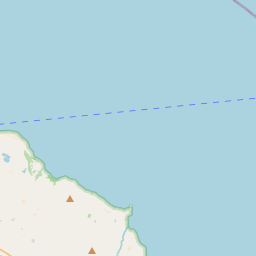
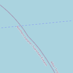
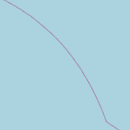
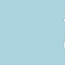
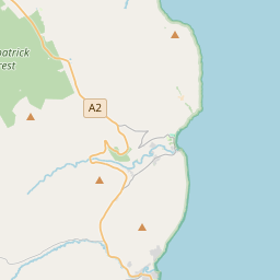
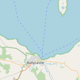
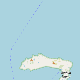
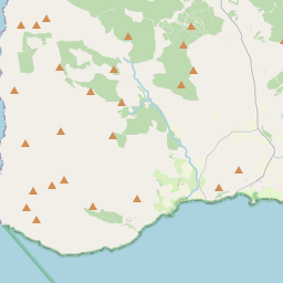
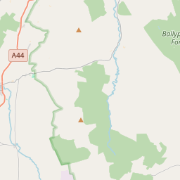
Leaflet | Map data © OpenStreetMap contributors
Fläche
Bushmills hat eine Fläche von 20,6 km² / 5,097,8 Acres / 8,0 Quadratmeilen.
Townlands
Uns sind 25 Townlands in bekannt. Das entspricht 100% der Fläche in .
- Ardihannon 251 A, 1 R, 15 P
- Ballyhemlin 183 A, 3 R, 17 P
- Ballylinny 165 A, 2 R, 21 P
- Ballylough 254 A, 0 R, 18 P
- Ballylough Beg 122 A, 0 R, 32 P
- Ballylough More 398 A, 3 R, 3 P
- Ballyness 208 A, 2 R, 13 P
- Ballytaylor 160 A, 0 R, 6 P
- Cabragh 132 A, 1 R, 36 P
- Carnanreagh 117 A, 2 R, 28 P
- Castlecat 144 A, 1 R, 15 P
- Cavan 134 A, 2 R, 27 P
- Clogher Anderson 71 A, 1 R, 39 P
- Clogher North 270 A, 2 R, 14 P
- Clogher South 287 A, 0 R, 13 P
- Cozies 385 A, 0 R, 23 P
- Craig 229 A, 3 R, 3 P
- Curramoney 367 A, 3 R, 37 P
- Eagry 162 A, 2 R, 35 P
- Glebe 39 A, 2 R, 13 P
- Glebe 31 A, 1 R, 22 P
- Kilcoobin 113 A, 2 R, 3 P
- Magherintendry 360 A, 1 R, 35 P
- Mallendober 80 A, 1 R, 24 P
- Turfahun 423 A, 3 R, 22 P
 OpenStreetMap
Bushmills wurde am 25 Feb 2021 von b-unicycling bei OpenStreetMap erfasst.
- View
- Edit