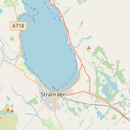
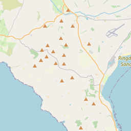
Based on data in OpenStreetMap, here is a list of townlands in the Electoral Division / ED / District Electoral Division of Carncastle.
Carncastle ist in der Grafschaft
Carncastle is not matched up to Logainm.ie yet.
Karte
Befindet sich bei 54° 53' 48" N, 5° 54' 0" W.


Leaflet | Map data © OpenStreetMap contributors
Fläche
Carncastle hat eine Fläche von 49,0 km² / 12,115,5 Acres / 18,9 Quadratmeilen.
Townlands
Uns sind 29 Townlands in bekannt. Das entspricht 100% der Fläche in .
- Ballycoos 370 A, 0 R, 4 P
- Ballygalley 782 A, 2 R, 18 P
- Ballygawn 682 A, 2 R, 25 P
- Ballygilbert 718 A, 1 R, 31 P
- Ballyhackett 338 A, 0 R, 22 P
- Ballymullock 417 A, 0 R, 13 P
- Ballyruther 276 A, 0 R, 35 P
- Ballytober 969 A, 1 R, 33 P
- Ballywillin 287 A, 3 R, 31 P
- Carnfunnock 195 A, 3 R, 17 P
- Corkermain 386 A, 1 R, 27 P
- Drains 398 A, 2 R, 8 P
- Drains Bog 316 A, 0 R, 19 P
- Droagh 147 A, 2 R, 22 P
- Dromain 226 A, 1 R, 11 P
- Drumnagreagh 335 A, 1 R, 35 P
- Four Score Acre 150 A, 3 R, 10 P
- Killyglen 1259 A, 1 R, 17 P
- Linford 663 A, 2 R, 22 P
- Lisnahay North 346 A, 0 R, 23 P
- Lisnahay South 353 A, 3 R, 13 P
- Loughduff 598 A, 1 R, 19 P
- Minnis North 50 A, 0 R, 15 P
- Minnis North 112 A, 2 R, 4 P
- Minnis South 55 A, 2 R, 34 P
- Saint Cunning 110 A, 1 R, 5 P
- Sallagh 729 A, 2 R, 33 P
- Slievebane 792 A, 3 R, 33 P
- Solar 43 A, 0 R, 5 P
 OpenStreetMap
Carncastle wurde am 25 Feb 2021 von b-unicycling bei OpenStreetMap erfasst.
- View
- Edit

 JOSM
JOSM iD
iD