Based on data in OpenStreetMap, here is a list of townlands in the Electoral Division / ED / District Electoral Division of Island Folly.
Island Folly ist in der Grafschaft
Island Folly is not matched up to Logainm.ie yet.
Karte
Befindet sich bei 54° 33' 51" N, 6° 5' 39" W.
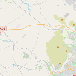
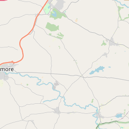
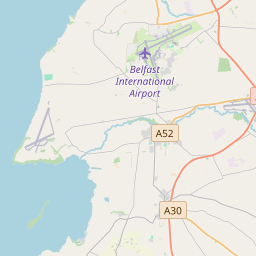

Leaflet | Map data © OpenStreetMap contributors
Fläche
Island Folly hat eine Fläche von 24,9 km² / 6,156,9 Acres / 9,6 Quadratmeilen.
Townlands
Uns sind 11 Townlands in bekannt. Das entspricht 100% der Fläche in .
- Aghnahough 759 A, 0 R, 4 P
- Ballymacoss 458 A, 1 R, 5 P
- Ballymacward Lower 870 A, 0 R, 6 P
- Ballymacward Upper 1449 A, 1 R, 12 P
- Bovolcan 533 A, 1 R, 31 P
- Clogher 216 A, 3 R, 18 P
- Drumankelly 304 A, 0 R, 3 P
- Island Kelly 438 A, 1 R, 32 P
- Slievenacloy 360 A, 0 R, 31 P
- Tornagrough 295 A, 1 R, 14 P
- White Mountain 471 A, 3 R, 20 P
 OpenStreetMap
Island Folly wurde am 28 Feb 2021 von b-unicycling bei OpenStreetMap erfasst.
- View
- Edit