Based on data in OpenStreetMap, here is a list of townlands in the Electoral Division / ED / District Electoral Division of Magheragall.
Magheragall ist in der Grafschaft
Magheragall is not matched up to Logainm.ie yet.
Karte
Befindet sich bei 54° 30' 50" N, 6° 8' 58" W.
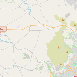
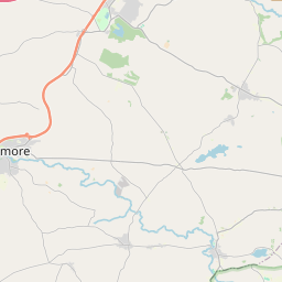
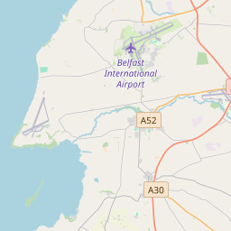

Leaflet | Map data © OpenStreetMap contributors
Fläche
Magheragall hat eine Fläche von 11,1 km² / 2,731,0 Acres / 4,3 Quadratmeilen.
Townlands
Uns sind 7 Townlands in bekannt. Das entspricht 100% der Fläche in .
- Ballynalargy 225 A, 1 R, 29 P
- Drumsill 342 A, 2 R, 4 P
- Knocknarea 147 A, 1 R, 6 P
- Magheragall 272 A, 3 R, 1 P
- Magheraliskmisk 794 A, 2 R, 31 P
- Moyrusk 314 A, 3 R, 25 P
- Mullaghcarton 633 A, 1 R, 14 P
 OpenStreetMap
Magheragall wurde am 1 Mär 2021 von b-unicycling bei OpenStreetMap erfasst.
- View
- Edit