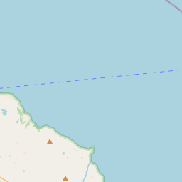
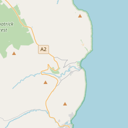
Based on data in OpenStreetMap, here is a list of townlands in the Electoral Division / ED / District Electoral Division of Portrush Rural.
Portrush Rural ist in der Grafschaft
Portrush Rural is not matched up to Logainm.ie yet.
Karte
Befindet sich bei 55° 11' 58" N, 6° 34' 51" W.


Leaflet | Map data © OpenStreetMap contributors
Fläche
Portrush Rural hat eine Fläche von 21,0 km² / 5,189,3 Acres / 8,1 Quadratmeilen.
Townlands
Uns sind 34 Townlands in bekannt. Das entspricht 100% der Fläche in .
- Ballaghmore 106 A, 2 R, 34 P
- Ballintrae 119 A, 0 R, 8 P
- Ballycraig Lower 194 A, 3 R, 1 P
- Ballycraig Upper 96 A, 2 R, 25 P
- Ballykeel 198 A, 3 R, 10 P
- Ballyleckan 290 A, 1 R, 35 P
- Ballymacrea Lower 88 A, 2 R, 13 P
- Ballymagarry 653 A, 2 R, 2 P
- Ballyness 139 A, 1 R, 37 P
- Ballytober East 179 A, 1 R, 34 P
- Ballytober West 217 A, 1 R, 15 P
- Ballywillin 196 A, 3 R, 15 P
- Boneyclassagh 147 A, 3 R, 31 P
- Bushfoot 246 A, 1 R, 35 P
- Clooney 44 A, 3 R, 35 P
- Cloughorr 378 A, 2 R, 10 P
- Corbally 109 A, 0 R, 19 P
- Craigaboney 135 A, 1 R, 1 P
- Craigahulliar 164 A, 3 R, 10 P
- Dunluce 187 A, 0 R, 20 P
- Glebe 7 A, 1 R, 31 P
- Glentask 153 A, 0 R, 27 P
- Gortnacapple 132 A, 0 R, 30 P
- Gortnee 155 A, 3 R, 28 P
- Knockertotan 134 A, 2 R, 15 P
- Leeke 176 A, 3 R, 36 P
- Magheraboy 24 A, 1 R, 3 P
- Magheracross 46 A, 2 R, 31 P
- Meadow Parks 37 A, 3 R, 23 P
- Meadow Parks 26 A, 3 R, 22 P
- Stanalane 92 A, 3 R, 1 P
- Tanderagee 43 A, 0 R, 37 P
- Urbalreagh 187 A, 2 R, 13 P
- Walk Mill 73 A, 2 R, 24 P
 OpenStreetMap
Portrush Rural wurde am 1 Mär 2021 von b-unicycling bei OpenStreetMap erfasst.
- View
- Edit

 JOSM
JOSM iD
iD