Based on data in OpenStreetMap, here is a list of townlands in the Electoral Division / ED / District Electoral Division of Shilvodan.
Shilvodan ist in der Grafschaft
Shilvodan is not matched up to Logainm.ie yet.
Karte
Befindet sich bei 54° 46' 2" N, 6° 13' 41" W.
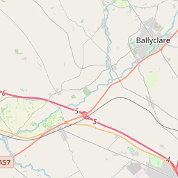
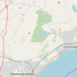
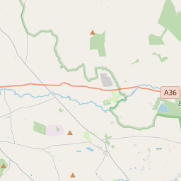
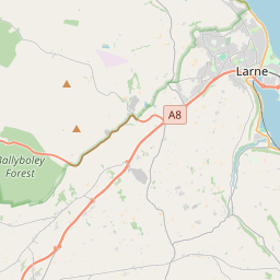
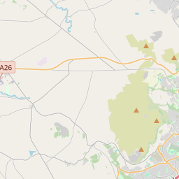

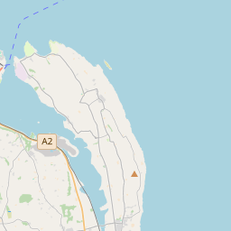
Leaflet | Map data © OpenStreetMap contributors
Fläche
Shilvodan hat eine Fläche von 23,3 km² / 5,764,3 Acres / 9,0 Quadratmeilen.
Townlands
Uns sind 13 Townlands in bekannt. Das entspricht 100% der Fläche in .
- Carngranny 259 A, 2 R, 32 P
- Creevery 518 A, 0 R, 23 P
- Drumkeeran 564 A, 1 R, 21 P
- Dunsilly 945 A, 3 R, 9 P
- Edenvale 532 A, 3 R, 17 P
- Eskylane 488 A, 0 R, 17 P
- Gallanagh 254 A, 2 R, 3 P
- Kilgavanagh 215 A, 2 R, 10 P
- Lisnevanagh 722 A, 2 R, 1 P
- Quarter Lenagh 102 A, 3 R, 25 P
- Tavnaghmore 621 A, 2 R, 21 P
- Tobernaveen 359 A, 0 R, 3 P
- Tullycreenaght 179 A, 0 R, 25 P
 OpenStreetMap
Shilvodan wurde am 1 Mär 2021 von b-unicycling bei OpenStreetMap erfasst.
- View
- Edit