Based on data in OpenStreetMap, here is a list of townlands in Armagh (ONeilland West portion).
Armagh (ONeilland West portion) ist in den Baronien Oneilland West.
Armagh (ONeilland West portion) ist in den Grafschaften Armagh.
Armagh (ONeilland West portion) is not matched up to Logainm.ie yet.
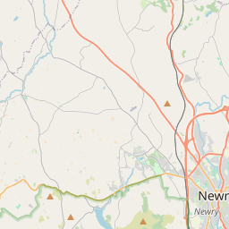
Karte
Befindet sich bei 54° 21' 10" N, 6° 36' 33" W.
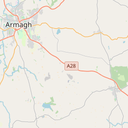
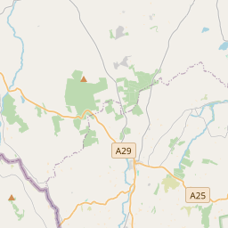
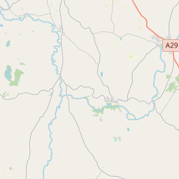
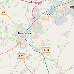
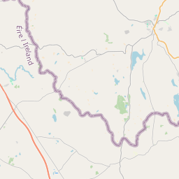
Leaflet | Map data © OpenStreetMap contributors
Fläche
Armagh (ONeilland West portion) hat eine Fläche von 4,3 km² / 1,054,5 Acres / 1,6 Quadratmeilen.
Townlands
There are 3 townlands that we know about in Armagh (ONeilland West portion). This represents 100% of all the area in Armagh (ONeilland West portion).
- Cill Lughna (see Killuney (Cill Lughna) , Gemeinde Armagh (ONeilland West portion), Baronie Oneilland West, Grafschaft Armagh)
- Killuney (Cill Lughna) , Gemeinde Armagh (ONeilland West portion), Baronie Oneilland West, Grafschaft Armagh 209 A, 3 R, 16 P
- Mullaigh Laochthren (see Mullyloughran (Mullaigh Laochthren) , Gemeinde Armagh (ONeilland West portion), Baronie Oneilland West, Grafschaft Armagh)
- Mullyloughran (Mullaigh Laochthren) , Gemeinde Armagh (ONeilland West portion), Baronie Oneilland West, Grafschaft Armagh 305 A, 2 R, 5 P
- Tir-na-scuab (see Tirnascobe (Tir-na-scuab) , Gemeinde Armagh (ONeilland West portion), Baronie Oneilland West, Grafschaft Armagh)
- Tirnascobe (Tir-na-scuab) , Gemeinde Armagh (ONeilland West portion), Baronie Oneilland West, Grafschaft Armagh 539 A, 0 R, 17 P
 OpenStreetMap
Armagh (ONeilland West portion) wurde am 14 Aug 2016 von Stephen_Co_Antrim bei OpenStreetMap erfasst.
- View
- Edit