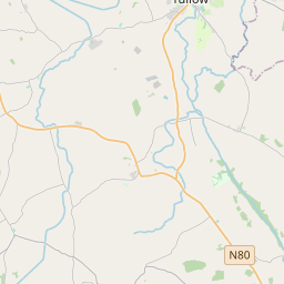
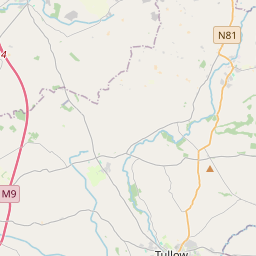
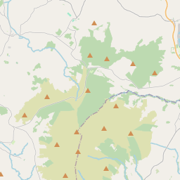
Based on data in OpenStreetMap, here is a list of townlands in Kellistown.
Kellistown ist in den Baronien Carlow und Forth.
Kellistown ist in den Grafschaften Carlow.
Kellistown bei Logainm.ie: Kellistown.
Karte
Befindet sich bei 52° 46' 34" N, 6° 49' 20" W.


Leaflet | Map data © OpenStreetMap contributors
Fläche
Kellistown hat eine Fläche von 17,9 km² / 4,416,7 Acres / 6,9 Quadratmeilen.
Townlands
There are 11 townlands that we know about in Kellistown. This represents 100% of all the area in Kellistown.
- Ard Bearna agus Tormán (see Ardbearn and Torman (Ard Bearna agus Tormán) , Gemeinde Kellistown, Baronie Forth, Grafschaft Carlow)
- Ardbearn and Torman (Ard Bearna agus Tormán) , Gemeinde Kellistown, Baronie Forth, Grafschaft Carlow 131 A, 1 R, 35 P
- Baile Bheithil (see Ballyveal (Baile Bheithil) , Gemeinde Kellistown, Baronie Forth, Grafschaft Carlow)
- Baile Uí Chaollaí (see Ballykealey (Baile Uí Chaollaí) , Gemeinde Kellistown, Baronie Forth, Grafschaft Carlow)
- Ballykealey (Baile Uí Chaollaí) , Gemeinde Kellistown, Baronie Forth, Grafschaft Carlow 335 A, 2 R, 38 P
- Ballyveal (Baile Bheithil) , Gemeinde Kellistown, Baronie Forth, Grafschaft Carlow 194 A, 2 R, 30 P
- Cill Chnoic (see Kilknock (Cill Chnoic) , Gemeinde Kellistown, Baronie Forth, Grafschaft Carlow)
- Cill Fhionnúrach (see Killenora (Cill Fhionnúrach) , Gemeinde Kellistown, Baronie Carlow, Grafschaft Carlow)
- Cill Leáin (see Killane (Cill Leáin) , Gemeinde Kellistown, Baronie Forth, Grafschaft Carlow)
- Cill Osna Thiar (see Kellistown West (Cill Osna Thiar) , Gemeinde Kellistown, Baronie Carlow, Grafschaft Carlow)
- Cill Osna Thoir (see Kellistown East (Cill Osna Thoir) , Gemeinde Kellistown, Baronie Carlow, Grafschaft Carlow)
- East Kellistown (see Kellistown East (Cill Osna Thoir) , Gemeinde Kellistown, Baronie Carlow, Grafschaft Carlow)
- Emilcon, Gemeinde Kellistown, Baronie Forth, Grafschaft Carlow 79 A, 1 R, 19 P
- Kellistown East (Cill Osna Thoir) , Gemeinde Kellistown, Baronie Carlow, Grafschaft Carlow 874 A, 1 R, 11 P
- Kellistown West (Cill Osna Thiar) , Gemeinde Kellistown, Baronie Carlow, Grafschaft Carlow 979 A, 1 R, 24 P
- Kilknock (Cill Chnoic) , Gemeinde Kellistown, Baronie Forth, Grafschaft Carlow 885 A, 0 R, 22 P
- Killane (Cill Leáin) , Gemeinde Kellistown, Baronie Forth, Grafschaft Carlow 129 A, 3 R, 8 P
- Killenora (Cill Fhionnúrach) , Gemeinde Kellistown, Baronie Carlow, Grafschaft Carlow 140 A, 0 R, 26 P
- Maothail Bheag (see Moyle Little (Maothail Bheag) , Gemeinde Kellistown, Baronie Carlow, Grafschaft Carlow)
- Maothail Mhór (see Moyle Big (Maothail Mhór) , Gemeinde Kellistown, Baronie Carlow, Grafschaft Carlow)
- Moyle Big (Maothail Mhór) , Gemeinde Kellistown, Baronie Carlow, Grafschaft Carlow 516 A, 2 R, 4 P
- Moyle Little (Maothail Bheag) , Gemeinde Kellistown, Baronie Carlow, Grafschaft Carlow 150 A, 0 R, 9 P
- Torman (see Ardbearn and Torman (Ard Bearna agus Tormán) , Gemeinde Kellistown, Baronie Forth, Grafschaft Carlow)
- Tormán (see Ardbearn and Torman (Ard Bearna agus Tormán) , Gemeinde Kellistown, Baronie Forth, Grafschaft Carlow)
- West Kellistown (see Kellistown West (Cill Osna Thiar) , Gemeinde Kellistown, Baronie Carlow, Grafschaft Carlow)
 OpenStreetMap
Kellistown wurde am 18 Jul 2012 von brianh bei OpenStreetMap erfasst.
- View
- Edit

 JOSM
JOSM iD
iD