Based on data in OpenStreetMap, here is a list of townlands in the Electoral Division / ED / District Electoral Division of Castlecrine.
Castlecrine ist in der Grafschaft
Castlecrine is not matched up to Logainm.ie yet.
Karte
Befindet sich bei 52° 46' 10" N, 8° 43' 22" W.

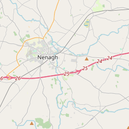
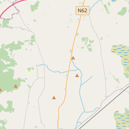
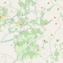

Leaflet | Map data © OpenStreetMap contributors
Fläche
Castlecrine hat eine Fläche von 18,9 km² / 4,675,1 Acres / 7,3 Quadratmeilen.
Townlands
Uns sind 16 Townlands in bekannt. Das entspricht 100% der Fläche in .
- Ballycullen 296 A, 2 R, 39 P
- Ballynevan 147 A, 2 R, 7 P
- Ballyvorgal Beg 69 A, 3 R, 35 P
- Ballyvorgal North 112 A, 2 R, 11 P
- Ballyvorgal South 307 A, 2 R, 39 P
- Belvoir 463 A, 1 R, 13 P
- Belvoir Demesne 346 A, 0 R, 11 P
- Castlecrine 571 A, 3 R, 21 P
- Castlelake 206 A, 3 R, 13 P
- Cloghoolia 424 A, 1 R, 9 P
- Coolycasey 529 A, 3 R, 27 P
- Crag 599 A, 3 R, 10 P
- Druminarela 131 A, 3 R, 13 P
- Glenwood 62 A, 3 R, 11 P
- Pollagh 115 A, 1 R, 19 P
- Snaty (Wilson) 288 A, 1 R, 5 P
 OpenStreetMap
Castlecrine wurde am 18 Dez 2016 von Teester bei OpenStreetMap erfasst.
- View
- Edit