Based on data in OpenStreetMap, here is a list of townlands in the Electoral Division / ED / District Electoral Division of Drumcreehy.
Drumcreehy ist in der Grafschaft
Drumcreehy is not matched up to Logainm.ie yet.
Karte
Befindet sich bei 53° 6' 32" N, 9° 8' 41" W.
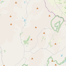
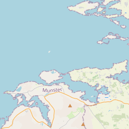
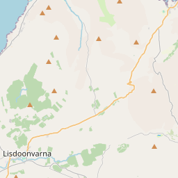
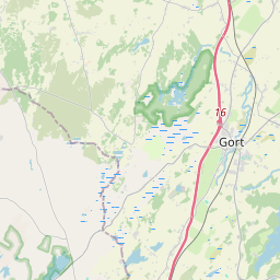
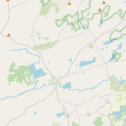

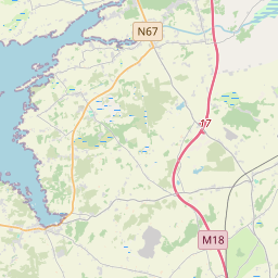
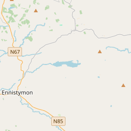
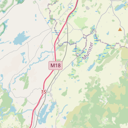
Leaflet | Map data © OpenStreetMap contributors
Fläche
Drumcreehy hat eine Fläche von 21,0 km² / 5,195,1 Acres / 8,1 Quadratmeilen.
Townlands
Uns sind 16 Townlands in bekannt. Das entspricht 100% der Fläche in .
- Acres 245 A, 1 R, 9 P
- Ballycahill 517 A, 1 R, 32 P
- Ballyconry 795 A, 1 R, 18 P
- Ballyvaghan 163 A, 3 R, 10 P
- Bishopsquarter 277 A, 2 R, 30 P
- Dangan 812 A, 0 R, 24 P
- Gall Island 0 A, 1 R, 15 P
- Green Island 2 A, 0 R, 10 P
- Illaunbrock Beg 0 A, 3 R, 33 P
- Illaunduff 1 A, 3 R, 25 P
- Killoughil 460 A, 0 R, 0 P
- Knocknagroagh 441 A, 3 R, 25 P
- Lisnanard 129 A, 2 R, 36 P
- Loughrask 266 A, 3 R, 14 P
- Newtown 809 A, 0 R, 28 P
- Tonarussa 270 A, 1 R, 15 P
 OpenStreetMap
Drumcreehy wurde am 16 Dez 2016 von Teester bei OpenStreetMap erfasst.
- View
- Edit