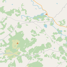
Based on data in OpenStreetMap, here is a list of townlands in the Electoral Division / ED / District Electoral Division of Ennistimon.
Ennistimon ist in der Grafschaft
Ennistimon is not matched up to Logainm.ie yet.
Karte
Befindet sich bei 52° 56' 43" N, 9° 17' 48" W.


Leaflet | Map data © OpenStreetMap contributors
Fläche
Ennistimon hat eine Fläche von 26,1 km² / 6,444,4 Acres / 10,1 Quadratmeilen.
Townlands
Uns sind 30 Townlands in bekannt. Das entspricht 100% der Fläche in .
- Ardnacullia North 66 A, 0 R, 1 P
- Ardnacullia South 335 A, 3 R, 34 P
- Ballingaddy East 512 A, 0 R, 17 P
- Ballingaddy West 509 A, 1 R, 20 P
- Ballymacravan 376 A, 0 R, 21 P
- Caherycoosaun 298 A, 2 R, 5 P
- Calluragh East 163 A, 3 R, 8 P
- Calluragh West 133 A, 3 R, 34 P
- Carrownaclogh 413 A, 1 R, 35 P
- Castlequarter 184 A, 1 R, 17 P
- Cloonaveige 99 A, 2 R, 15 P
- Clooncoul 442 A, 1 R, 15 P
- Deerpark Lower 33 A, 3 R, 13 P
- Deerpark Middle 32 A, 0 R, 5 P
- Deerpark Upper 73 A, 3 R, 9 P
- Deerpark West 200 A, 3 R, 34 P
- Dough 743 A, 3 R, 34 P
- Ennistimon 82 A, 0 R, 12 P
- Glebe 63 A, 3 R, 36 P
- Glen North 132 A, 3 R, 14 P
- Glen South 93 A, 2 R, 36 P
- Kilcornan 345 A, 0 R, 26 P
- Killeinagh 44 A, 2 R, 26 P
- Knockbrack 83 A, 2 R, 9 P
- Knockdrummagh North 99 A, 0 R, 0 P
- Knockdrummagh South 101 A, 1 R, 15 P
- Lahinch 273 A, 3 R, 37 P
- Lissatunna 268 A, 2 R, 34 P
- Sroohil 47 A, 3 R, 15 P
- Woodmount 187 A, 0 R, 26 P
 OpenStreetMap
Ennistimon wurde am 16 Dez 2016 von Teester bei OpenStreetMap erfasst.
- View
- Edit

 JOSM
JOSM iD
iD