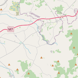
Based on data in OpenStreetMap, here is a list of townlands in the Electoral Division / ED / District Electoral Division of Inishcaltra North.
Inishcaltra North ist in der Grafschaft
Inishcaltra North is not matched up to Logainm.ie yet.
Karte
Befindet sich bei 52° 56' 49" N, 8° 28' 5" W.


Leaflet | Map data © OpenStreetMap contributors
Fläche
Inishcaltra North hat eine Fläche von 24,9 km² / 6,147,0 Acres / 9,6 Quadratmeilen.
Townlands
Uns sind 18 Townlands in bekannt. Das entspricht 87,7% der Fläche in .
- Bohateh North 1082 A, 3 R, 6 P
- Bohateh South 462 A, 0 R, 17 P
- Cappaduff 462 A, 3 R, 20 P
- Cloontyconnaught 169 A, 3 R, 14 P
- Curratober 25 A, 1 R, 33 P
- Glenwanish 488 A, 3 R, 18 P
- Inishcaltra or Holy Island 46 A, 0 R, 3 P
- Kilrateera Lower 145 A, 3 R, 1 P
- Kilrateera Upper 333 A, 1 R, 10 P
- Knockaphort 145 A, 1 R, 33 P
- Magherareagh 352 A, 3 R, 3 P
- Malt Island 0 A, 3 R, 8 P
- Middleline North 478 A, 1 R, 19 P
- Middleline South 206 A, 1 R, 31 P
- Sellernaun East 370 A, 3 R, 27 P
- Sellernaun West 384 A, 1 R, 35 P
- Woodpark 232 A, 2 R, 15 P
- Young's Island 2 A, 2 R, 1 P
 OpenStreetMap
Inishcaltra North wurde am 18 Dez 2016 von Teester bei OpenStreetMap erfasst.
- View
- Edit

 JOSM
JOSM iD
iD