Based on data in OpenStreetMap, here is a list of townlands in the Electoral Division / ED / District Electoral Division of Clontarf West E.
Clontarf West E ist in der Grafschaft
Clontarf West E is not matched up to Logainm.ie yet.
Karte
Befindet sich bei 53° 22' 7" N, 6° 14' 5" W.


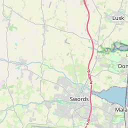
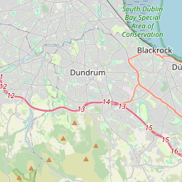
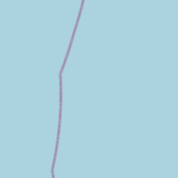
Leaflet | Map data © OpenStreetMap contributors
Fläche
Clontarf West E hat eine Fläche von 0,3 km² / 81,1 Acres / 0,1 Quadratmeilen.
Townlands
Uns sind 0 Townlands in bekannt. Das entspricht 0% der Fläche in .
 OpenStreetMap
Clontarf West E wurde am 7 Feb 2015 von brianh bei OpenStreetMap erfasst.
- View
- Edit