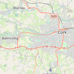
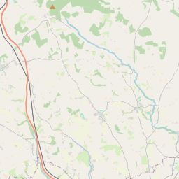
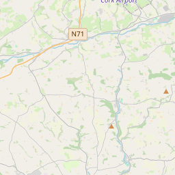
Based on data in OpenStreetMap, here is a list of townlands in Inishkenny.
Inishkenny ist in den Baronien Cork und East Muskerry.
Inishkenny ist in den Grafschaften Cork.
Inishkenny bei Logainm.ie: Inishkenny.
Karte
Befindet sich bei 51° 51' 2" N, 8° 32' 57" W.


Leaflet | Map data © OpenStreetMap contributors
Fläche
Inishkenny hat eine Fläche von 16,0 km² / 3,941,8 Acres / 6,2 Quadratmeilen.
Townlands
There are 14 townlands that we know about in Inishkenny. This represents 100% of all the area in Inishkenny.
- Ard an Róistigh (see Ardarostig (Ard an Róistigh) , Gemeinde Inishkenny, Baronie Cork, Grafschaft Cork)
- Ardarostig (Ard an Róistigh) , Gemeinde Inishkenny, Baronie Cork, Grafschaft Cork 250 A, 1 R, 30 P
- Ballinveiltig, Gemeinde Inishkenny, Baronie Cork, Grafschaft Cork 207 A, 3 R, 22 P
- Ballinvoultig, Gemeinde Inishkenny, Baronie Cork, Grafschaft Cork 188 A, 2 R, 0 P
- Ballinvrinsig, Gemeinde Inishkenny, Baronie Cork, Grafschaft Cork 321 A, 1 R, 2 P
- Ballyleigh, Gemeinde Inishkenny, Baronie East Muskerry, Grafschaft Cork 447 A, 0 R, 29 P
- Ballymah, Gemeinde Inishkenny, Baronie Cork, Grafschaft Cork 371 A, 3 R, 16 P
- Curraheen (E.D. Inishkenny), Gemeinde Inishkenny, Baronie Cork, Grafschaft Cork 195 A, 1 R, 20 P
- Inishkenny, Gemeinde Inishkenny, Baronie Cork, Grafschaft Cork 217 A, 3 R, 5 P
- Kilmurriheen, Gemeinde Inishkenny, Baronie Cork, Grafschaft Cork 219 A, 0 R, 5 P
- Knockalisheen, Gemeinde Inishkenny, Baronie Cork, Grafschaft Cork 226 A, 2 R, 10 P
- Knocknamallavoge, Gemeinde Inishkenny, Baronie Cork, Grafschaft Cork 242 A, 2 R, 39 P
- Oldabbey, Gemeinde Inishkenny, Baronie East Muskerry, Grafschaft Cork 347 A, 2 R, 25 P
- Rochfordstown, Gemeinde Inishkenny, Baronie Cork, Grafschaft Cork 540 A, 1 R, 27 P
- Straleigh, Gemeinde Inishkenny, Baronie East Muskerry, Grafschaft Cork 165 A, 0 R, 9 P
 OpenStreetMap
Inishkenny wurde am 17 Aug 2016 von Teester bei OpenStreetMap erfasst.
- View
- Edit

 JOSM
JOSM iD
iD