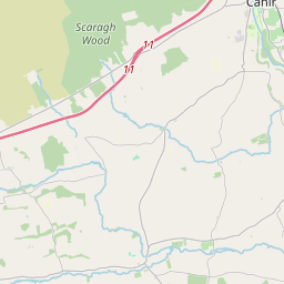
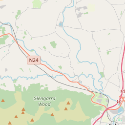
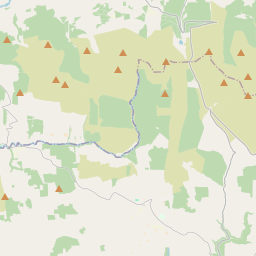
Based on data in OpenStreetMap, here is a list of townlands in the Electoral Division / ED / District Electoral Division of Tullylease.
Tullylease ist in der Grafschaft
Tullylease is not matched up to Logainm.ie yet.
Karte
Befindet sich bei 52° 18' 31" N, 8° 55' 32" W.


Leaflet | Map data © OpenStreetMap contributors
Fläche
Tullylease hat eine Fläche von 24,1 km² / 5,957,6 Acres / 9,3 Quadratmeilen.
Townlands
Uns sind 20 Townlands in bekannt. Das entspricht 100% der Fläche in .
- Ballagh 540 A, 3 R, 14 P
- Ballynaguilla 404 A, 1 R, 36 P
- Cahernagh East 109 A, 2 R, 26 P
- Cahernagh (Leland) 136 A, 2 R, 30 P
- Cahernagh (Morgel) 201 A, 1 R, 6 P
- Castlelishen 281 A, 0 R, 21 P
- Cloongown 236 A, 3 R, 20 P
- Cloonsillagh 407 A, 1 R, 2 P
- Cooles 601 A, 1 R, 17 P
- Cromagloun 74 A, 3 R, 32 P
- Curra 188 A, 2 R, 37 P
- Dromanig 297 A, 3 R, 5 P
- Gortnagark 93 A, 2 R, 0 P
- Knockatoumpane 357 A, 0 R, 11 P
- Knockawillin 474 A, 2 R, 21 P
- Knockearagh 833 A, 0 R, 8 P
- Knocknavorahee 98 A, 0 R, 20 P
- Poulavare 170 A, 0 R, 8 P
- Sheskin 204 A, 3 R, 35 P
- Tullylease 245 A, 0 R, 14 P
 OpenStreetMap
Tullylease wurde am 26 Jan 2017 von Teester bei OpenStreetMap erfasst.
- View
- Edit

 JOSM
JOSM iD
iD