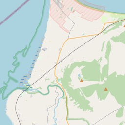
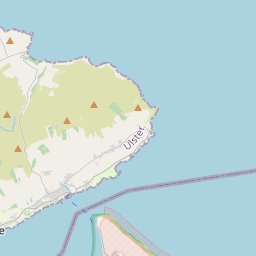
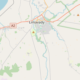
Based on data in OpenStreetMap, here is a list of townlands in the Electoral Division / ED / District Electoral Division of Buncrana Rural.
Buncrana Rural ist in der Grafschaft
Buncrana Rural is not matched up to Logainm.ie yet.
Karte
Befindet sich bei 55° 7' 48" N, 7° 24' 41" W.


Leaflet | Map data © OpenStreetMap contributors
Fläche
Buncrana Rural hat eine Fläche von 32,1 km² / 7,929,6 Acres / 12,4 Quadratmeilen.
Townlands
Uns sind 14 Townlands in bekannt. Das entspricht 100% der Fläche in .
- Aghilly and Lenynarnan 374 A, 3 R, 13 P
- Ballymacarry 456 A, 3 R, 17 P
- Ballymagan Upper and Lower and Clonblosk 482 A, 1 R, 34 P
- Ballynarry 648 A, 2 R, 27 P
- Bauville Keeloges and Clonglash 690 A, 0 R, 33 P
- Gransha 448 A, 0 R, 6 P
- Luddan 510 A, 3 R, 29 P
- Meenkeeragh 614 A, 2 R, 18 P
- Owenkillew and Barnahone 788 A, 3 R, 26 P
- Sorne 692 A, 3 R, 39 P
- Trillick 442 A, 1 R, 22 P
- Tullyarvan 595 A, 2 R, 23 P
- Tullydush Lower 464 A, 3 R, 30 P
- Tullydush Upper 718 A, 0 R, 15 P
 OpenStreetMap
Buncrana Rural wurde am 16 Feb 2017 von Boggedy bei OpenStreetMap erfasst.
- View
- Edit

 JOSM
JOSM iD
iD