Based on data in OpenStreetMap, here is a list of townlands in the Electoral Division / ED / District Electoral Division of Rathmines and Rathgar East ED 1901.
Rathmines and Rathgar East ED 1901 ist in der Grafschaft
Rathmines and Rathgar East ED 1901 is not matched up to Logainm.ie yet.
Karte
Befindet sich bei 53° 19' 8" N, 6° 15' 8" W.


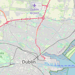
Leaflet | Map data © OpenStreetMap contributors
Fläche
Rathmines and Rathgar East ED 1901 hat eine Fläche von 2,2 km² / 546,0 Acres / 0,9 Quadratmeilen.
Townlands
Uns ist 1 Townland in bekannt. Das entspricht 21,7% der Fläche in .
- Cullenswood 118 A, 2 R, 2 P
 OpenStreetMap
Rathmines and Rathgar East ED 1901 wurde am 15 Aug 2021 von brianh bei OpenStreetMap erfasst.
- View
- Edit