Based on data in OpenStreetMap, here is a list of townlands in the Electoral Division / ED / District Electoral Division of Ballynakill.
Ballynakill ist in der Grafschaft
Ballynakill is not matched up to Logainm.ie yet.
Karte
Befindet sich bei 53° 38' 22" N, 8° 25' 3" W.
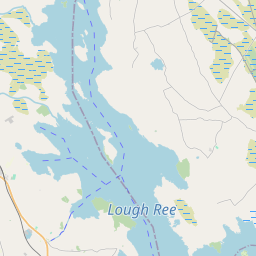
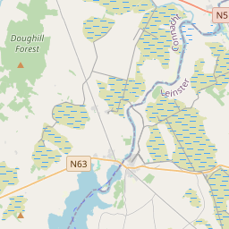
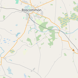
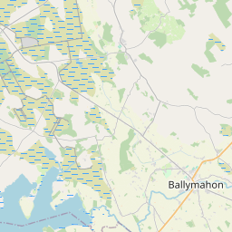
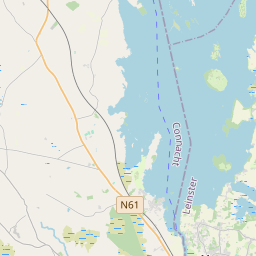
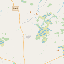
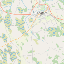
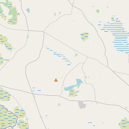
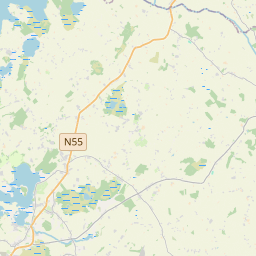
Leaflet | Map data © OpenStreetMap contributors
Fläche
Ballynakill hat eine Fläche von 29,8 km² / 7,366,0 Acres / 11,5 Quadratmeilen.
Townlands
Uns sind 22 Townlands in bekannt. Das entspricht 100% der Fläche in .
- Aghalateeve 433 A, 1 R, 17 P
- Ballincurry 457 A, 1 R, 10 P
- Ballyfinegan 119 A, 2 R, 9 P
- Ballynakill 287 A, 3 R, 22 P
- Clooncah 386 A, 0 R, 9 P
- Clooncunny 354 A, 1 R, 33 P
- Cloonfaghna 584 A, 2 R, 37 P
- Corgarve 266 A, 2 R, 6 P
- Corlackan 376 A, 1 R, 39 P
- Corrspark 172 A, 2 R, 32 P
- Curraghrevagh 429 A, 2 R, 11 P
- Derreen 216 A, 3 R, 26 P
- Garraunmore 248 A, 0 R, 37 P
- Glinsk 737 A, 1 R, 23 P
- Gortmorris 214 A, 1 R, 13 P
- Keelogesbeg 128 A, 1 R, 29 P
- Lenanmarla 288 A, 1 R, 27 P
- Moneen 233 A, 2 R, 21 P
- Newtown 497 A, 3 R, 7 P
- Sonnagh 422 A, 0 R, 34 P
- Treanpark 113 A, 1 R, 15 P
- Ussey 396 A, 2 R, 20 P
 OpenStreetMap
Ballynakill wurde am 29 Dez 2016 von Boggedy bei OpenStreetMap erfasst.
- View
- Edit