Based on data in OpenStreetMap, here is a list of townlands in the Electoral Division / ED / District Electoral Division of Castletaylor.
Castletaylor ist in der Grafschaft
Castletaylor is not matched up to Logainm.ie yet.
Karte
Befindet sich bei 53° 10' 6" N, 8° 49' 20" W.
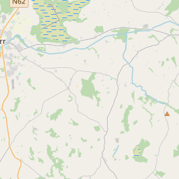
Leaflet | Map data © OpenStreetMap contributors
Fläche
Castletaylor hat eine Fläche von 15,2 km² / 3,746,4 Acres / 5,9 Quadratmeilen.
Townlands
Uns sind 17 Townlands in bekannt. Das entspricht 100% der Fläche in .
- Ardrahan South 118 A, 2 R, 16 P
- Barratreana 167 A, 2 R, 16 P
- Brackloon 65 A, 1 R, 26 P
- Caherateige 343 A, 3 R, 16 P
- Caherdaly 208 A, 3 R, 10 P
- Caranavoodaun 101 A, 1 R, 20 P
- Castletaylor North 248 A, 3 R, 28 P
- Castletaylor South 433 A, 1 R, 24 P
- Cregmore 202 A, 3 R, 6 P
- Cullenagh Beg 177 A, 0 R, 3 P
- Cullenagh More 381 A, 0 R, 0 P
- Kiltiernan East 487 A, 2 R, 13 P
- Kiltiernan West 197 A, 3 R, 11 P
- Owenbristy 68 A, 3 R, 30 P
- Rooaunmore 252 A, 2 R, 15 P
- Toberacreggaun 78 A, 3 R, 13 P
- Tonroe 211 A, 3 R, 14 P
 OpenStreetMap
Castletaylor wurde am 8 Nov 2015 von Boggedy bei OpenStreetMap erfasst.
- View
- Edit