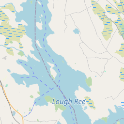
Based on data in OpenStreetMap, here is a list of townlands in the Electoral Division / ED / District Electoral Division of Levally.
Levally ist in der Grafschaft
Levally is not matched up to Logainm.ie yet.
Karte
Befindet sich bei 53° 31' 18" N, 8° 44' 7" W.


Leaflet | Map data © OpenStreetMap contributors
Fläche
Levally hat eine Fläche von 20,3 km² / 5,010,0 Acres / 7,8 Quadratmeilen.
Townlands
Uns sind 21 Townlands in bekannt. Das entspricht 100% der Fläche in .
- Aghloragh 397 A, 0 R, 24 P
- Ballaghalode 285 A, 3 R, 1 P
- Cappadavock 286 A, 0 R, 1 P
- Cartronroe 364 A, 0 R, 32 P
- Castlemoyle 195 A, 3 R, 36 P
- Corralea 187 A, 2 R, 10 P
- Corry 115 A, 2 R, 1 P
- Cuilbeg 86 A, 2 R, 25 P
- Curraghcreen 354 A, 0 R, 12 P
- Ginnaun 171 A, 3 R, 15 P
- Hillswood East 481 A, 3 R, 15 P
- Hillswood West 44 A, 1 R, 5 P
- Kilgarriff North 223 A, 2 R, 7 P
- Kilgarriff South 76 A, 3 R, 37 P
- Levally East 396 A, 2 R, 28 P
- Levally West 231 A, 1 R, 0 P
- Meelick East 128 A, 3 R, 20 P
- Monacow 228 A, 1 R, 17 P
- Monumentpark 124 A, 3 R, 39 P
- Polldorragha 326 A, 2 R, 38 P
- Ryehill 301 A, 2 R, 33 P
 OpenStreetMap
Levally wurde am 17 Dez 2016 von Boggedy bei OpenStreetMap erfasst.
- View
- Edit

 JOSM
JOSM iD
iD