Based on data in OpenStreetMap, here is a list of townlands in the Electoral Division / ED / District Electoral Division of Raford.
Raford ist in der Grafschaft
Raford is not matched up to Logainm.ie yet.
Karte
Befindet sich bei 53° 16' 3" N, 8° 34' 39" W.
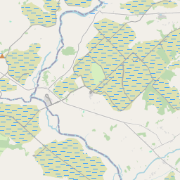
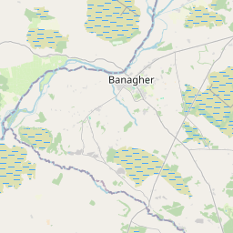
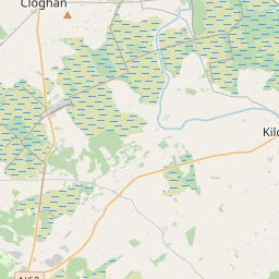
Leaflet | Map data © OpenStreetMap contributors
Fläche
Raford hat eine Fläche von 15,7 km² / 3,884,1 Acres / 6,1 Quadratmeilen.
Townlands
Uns sind 16 Townlands in bekannt. Das entspricht 100% der Fläche in .
- Abberanville 24 A, 3 R, 1 P
- Ballykeeran 331 A, 0 R, 26 P
- Brackloonbeg 437 A, 0 R, 6 P
- Carrownaglogh 270 A, 2 R, 10 P
- Carrowreagh 139 A, 0 R, 7 P
- Clashaganny 204 A, 0 R, 9 P
- Farta 149 A, 0 R, 17 P
- Galboley 400 A, 3 R, 29 P
- Galboley 109 A, 0 R, 39 P
- Gortakeeran 221 A, 0 R, 27 P
- Killescragh 311 A, 2 R, 8 P
- Knocknadaula 144 A, 2 R, 29 P
- Knocknadaula 202 A, 3 R, 19 P
- Raford 429 A, 1 R, 4 P
- Sraheendoo 119 A, 0 R, 35 P
- Turoe 389 A, 1 R, 21 P
 OpenStreetMap
Raford wurde am 17 Nov 2016 von Boggedy bei OpenStreetMap erfasst.
- View
- Edit