Based on data in OpenStreetMap, here is a list of townlands in the Electoral Division / ED / District Electoral Division of Ballyconry.
Ballyconry ist in der Grafschaft
Ballyconry is not matched up to Logainm.ie yet.
Karte
Befindet sich bei 52° 28' 49" N, 9° 35' 45" W.
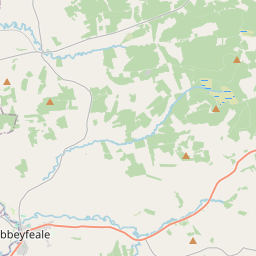
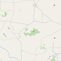
Leaflet | Map data © OpenStreetMap contributors
Fläche
Ballyconry hat eine Fläche von 11,5 km² / 2,837,3 Acres / 4,4 Quadratmeilen.
Townlands
Uns sind 10 Townlands in bekannt. Das entspricht 97,4% der Fläche in .
- Ahascra 207 A, 3 R, 21 P
- Ballyconry 177 A, 2 R, 8 P
- Ballydonohoe 825 A, 2 R, 2 P
- Gortagurrane East 91 A, 2 R, 19 P
- Gortagurrane West 115 A, 0 R, 25 P
- Moybella North 462 A, 2 R, 5 P
- Moybella South 312 A, 1 R, 36 P
- Mweevoo 151 A, 1 R, 39 P
- Mweevuck 197 A, 3 R, 17 P
- Toohana 220 A, 2 R, 35 P
 OpenStreetMap
Ballyconry wurde am 7 Jan 2017 von Teester bei OpenStreetMap erfasst.
- View
- Edit