Based on data in OpenStreetMap, here is a list of townlands in the Electoral Division / ED / District Electoral Division of Ballynahaglish.
Ballynahaglish ist in der Grafschaft
Ballynahaglish is not matched up to Logainm.ie yet.
Karte
Befindet sich bei 52° 17' 24" N, 9° 49' 40" W.
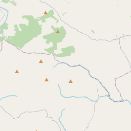
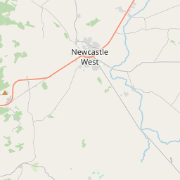
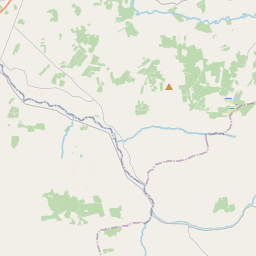
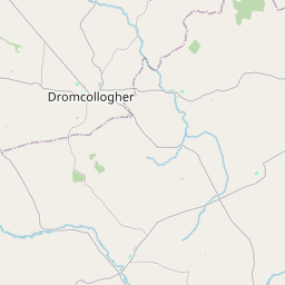
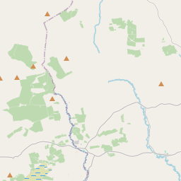
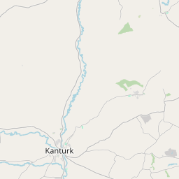
Leaflet | Map data © OpenStreetMap contributors
Fläche
Ballynahaglish hat eine Fläche von 19,7 km² / 4,856,5 Acres / 7,6 Quadratmeilen.
Townlands
Uns sind 15 Townlands in bekannt. Das entspricht 100,0% der Fläche in .
- Ballyea 153 A, 3 R, 23 P
- Ballygararran 904 A, 0 R, 28 P
- Ballymakegoge 762 A, 3 R, 0 P
- Barrow 862 A, 1 R, 12 P
- Fenit Within 463 A, 3 R, 31 P
- Fenit Without 255 A, 1 R, 39 P
- Glebe 27 A, 0 R, 20 P
- Kilfenora 130 A, 0 R, 34 P
- Knocknanarney 151 A, 0 R, 26 P
- Lissodeige 424 A, 2 R, 20 P
- Listrim 233 A, 0 R, 34 P
- Samphire Island 9 A, 2 R, 14 P
- Samphire Island Little 1 A, 2 R, 23 P
- Tawlaght 96 A, 0 R, 35 P
- Tawlaght 379 A, 0 R, 9 P
 OpenStreetMap
Ballynahaglish wurde am 8 Jan 2017 von Teester bei OpenStreetMap erfasst.
- View
- Edit