Based on data in OpenStreetMap, here is a list of townlands in the Electoral Division / ED / District Electoral Division of Ballyseedy.
Ballyseedy ist in der Grafschaft
Ballyseedy is not matched up to Logainm.ie yet.
Karte
Befindet sich bei 52° 14' 29" N, 9° 39' 33" W.
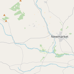
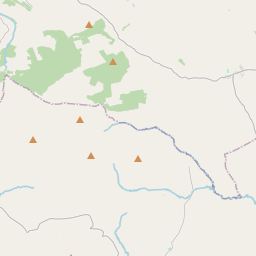
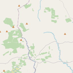
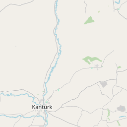
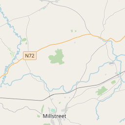
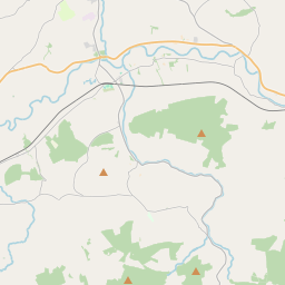
Leaflet | Map data © OpenStreetMap contributors
Fläche
Ballyseedy hat eine Fläche von 20,6 km² / 5,094,3 Acres / 8,0 Quadratmeilen.
Townlands
Uns sind 18 Townlands in bekannt. Das entspricht 100% der Fläche in .
- Ballindooganig 195 A, 3 R, 28 P
- Ballingowan 231 A, 2 R, 0 P
- Ballycarthy 175 A, 3 R, 37 P
- Ballymacthomas 400 A, 0 R, 2 P
- Ballyseedy 378 A, 1 R, 29 P
- Caherleheen 873 A, 3 R, 39 P
- Caherleheen 13 A, 0 R, 6 P
- Caherweesheen 145 A, 3 R, 27 P
- Camp 168 A, 3 R, 13 P
- Clashedmond 186 A, 0 R, 6 P
- Curraghleha East 77 A, 2 R, 30 P
- Curraghleha West 66 A, 2 R, 30 P
- Dromavally 360 A, 3 R, 26 P
- Gortbrack East 175 A, 2 R, 34 P
- Gortbrack West 183 A, 1 R, 24 P
- Lissardboola 380 A, 1 R, 1 P
- Poulawaddra 861 A, 2 R, 35 P
- Shananagh 218 A, 0 R, 34 P
 OpenStreetMap
Ballyseedy wurde am 8 Jan 2017 von Teester bei OpenStreetMap erfasst.
- View
- Edit