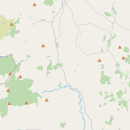
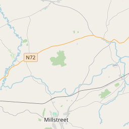
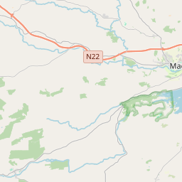
Based on data in OpenStreetMap, here is a list of townlands in the Electoral Division / ED / District Electoral Division of Curraghmore.
Curraghmore ist in der Grafschaft
Curraghmore is not matched up to Logainm.ie yet.
Karte
Befindet sich bei 52° 0' 7" N, 9° 43' 55" W.


Leaflet | Map data © OpenStreetMap contributors
Fläche
Curraghmore hat eine Fläche von 52,7 km² / 13,026,5 Acres / 20,4 Quadratmeilen.
Townlands
Uns sind 22 Townlands in bekannt. Das entspricht 100% der Fläche in .
- Ballyledder 1159 A, 1 R, 36 P
- Bridia 324 A, 0 R, 33 P
- Bunbinnia 1558 A, 1 R, 2 P
- Cappanthlarig 310 A, 1 R, 25 P
- Capparoe 325 A, 1 R, 30 P
- Cockow 388 A, 2 R, 5 P
- Cooleanig 458 A, 3 R, 10 P
- Coolroe 1059 A, 1 R, 38 P
- Coomcallee 1560 A, 2 R, 12 P
- Coumreagh 260 A, 3 R, 31 P
- Curragh More 1275 A, 1 R, 8 P
- Drumluska 322 A, 3 R, 4 P
- Eskwacruttia 266 A, 1 R, 31 P
- Gearha 337 A, 2 R, 9 P
- Gortboy 554 A, 2 R, 37 P
- Kill 697 A, 3 R, 33 P
- Lisleibane 610 A, 1 R, 37 P
- Maghanlawaun 444 A, 2 R, 16 P
- Magherasrahan 154 A, 3 R, 13 P
- Moyleglass 518 A, 3 R, 4 P
- Muingagarha 121 A, 0 R, 15 P
- Shanacloon 315 A, 3 R, 0 P
 OpenStreetMap
Curraghmore wurde am 11 Jan 2017 von Teester bei OpenStreetMap erfasst.
- View
- Edit

 JOSM
JOSM iD
iD